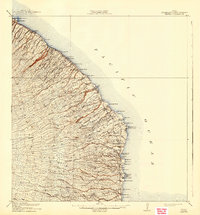
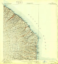
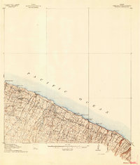
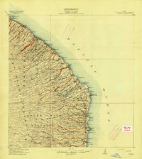
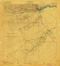
1915 Map of Honomu
USGS Topo · Published 1943About this map
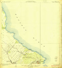
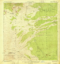
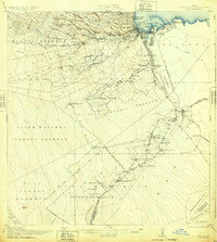
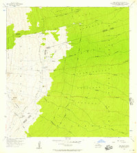
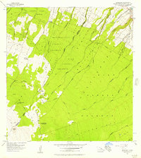
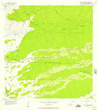
North Hilo District and South Hilo District meet along the Hamakua Coast during a period of intense agricultural development. The landscape is defined by a dense network of gulches and streams, such as Maulua Stream and Kolekole Stream, which carve deep paths toward the Pacific Ocean. This survey highlights the complex infrastructure of the era, specifically the extensive Flume systems designed to transport sugarcane from the upland fields down to the coast. Settlements like Hakalau, Honomu, and Papaikou serve as the primary hubs for this coastal economy. The coastal topography is marked by distinctive features such as the Onomea Arch and vital maritime access points including Pepeekeo Landing and Papaikou Landing. Education for the growing local population is anchored by the Haiku School and Kaiwiki School, providing a window into the social geography of the island's eastern shore.
Find a feature on this map
96 named features on this map. Tap any name to fly to it.
Don’t see what you’re looking for? This feature index may not catch every label — zoom into the map to look around manually.
Map Details
Editions of this 1915 Honomu Map
3 editions found
Other maps of this area
1915 · Hamakua
USGS Topo · 1:62,500
1915 · Honomu
USGS Topo · 1:62,500
1917 · Hilo
USGS Topo · 1:62,500
1924 · Makuu
USGS Topo · 1:62,500
1930 · Humuula
USGS Topo · 1:62,500
1932 · Hilo
USGS Topo · 1:62,500

1954 · Hawaii North
USGS Topo · 1:250,000
1956 · Pua Akala
USGS Topo · 1:24,000
1956 · Keanakolu
USGS Topo · 1:24,000
1956 · Upper Piihonua
USGS Topo · 1:24,000