
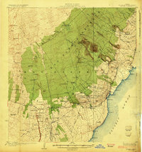
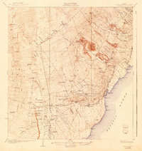
1924 Map of Honuapo
USGS Topo · Published 1924About this map
Volcanic activity and plantation-era settlements define this survey of the southern coast of the Big Island. The landscape is marked by historical geological events, most notably the Lava Flow of 1916 and the Lava Flow of 1887, which cut across the terrain near Kahuku Ranch. Dense networks of Ninole Homesteads and Kaunamano Homesteads illustrate the organized land distribution of the Territory of Hawaii era, while numerous laborers' quarters like Middle Moaula Camp and Dairy Camp suggest the local agricultural and ranching economy.
Find a feature on this map
91 named features on this map. Tap any name to fly to it.
Don’t see what you’re looking for? This feature index may not catch every label — zoom into the map to look around manually.
Map Details
Editions of this 1924 Honuapo Map
3 editions found
Other maps of this area

1921 · Kilauea
USGS Topo · 1:62,500

1923 · Pahala
USGS Topo · 1:62,500

1924 · Kalae
USGS Topo · 1:62,500

1924 · Kilauea
USGS Topo · 1:62,500

1928 · Mauna Loa
USGS Topo · 1:62,500

1928 · Hoopuloa
USGS Topo · 1:62,500

1954 · Hawaii South
USGS Topo · 1:250,000

1959 · Hawaii South
USGS Topo · 1:250,000

1961 · Hawaii South
USGS Topo · 1:250,000

1962 · Hawaii South
USGS Topo · 1:250,000