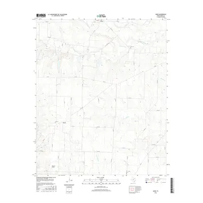
2016 Map of Hood
USGS Topo · Published 2016About this map
Myra and Hood anchor this rural landscape in Cooke County, where the upper reaches of the Elm Fork Trinity River carve through the north Texas prairie. The terrain is defined by a dendritic network of drainages including Brushy Elm Cr, Wildcat Cr, and Grasshopper Cr, which feed into the primary river system. This 2016 survey reflects the persistent agricultural character of the region, where a dense grid of county roads like Co RD 310 and Co RD 308 connects isolated farmsteads and historical community centers. Researchers focusing on family history can identify key local landmarks such as Reed Cem, Hood Cem, and Era Cem. The map provides a clear picture of the modern road network, including FM 1198 and FM 1630, overlaid on a landscape that maintains its traditional livestock and farming roots, south of the local height of land at Norfleet Hollow.
Find a feature on this map
47 named features on this map. Tap any name to fly to it.
Don’t see what you’re looking for? This feature index may not catch every label — zoom into the map to look around manually.
Map Details
Editions of this 2016 Hood Map
This is the sole edition of this map. No revisions or reprints were ever made.
Other maps of this area

1902 · Gainesville
USGS Topo · 1:125,000

1943 · Gainesville
USGS Topo · 1:125,000

1954 · Sherman
USGS Topo · 1:250,000

1958 · Sherman
USGS Topo · 1:250,000

1960 · Gainesville South
USGS Topo · 1:24,000

1960 · Gainesville North
USGS Topo · 1:24,000

1961 · Muenster West
USGS Topo · 1:24,000

1961 · Freemound
USGS Topo · 1:24,000

1961 · Era
USGS Topo · 1:24,000

1961 · Hood
USGS Topo · 1:24,000