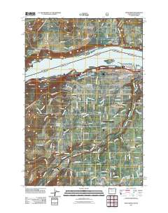
2011 Map of Hood River
USGS Topo · Published 2011About this map
The Columbia River serves as the dominant geographic feature of this 2011 survey, marking the border between Oregon and Washington where the White Salmon River enters from the north. The city of Hood River occupies the southern bank, characterized by a complex grid of residential streets and essential services like the Hood River Post Office and Idlewild Cemetery. The landscape transitions from the riverfront to the fertile agricultural lands of the Hood River Valley, where small communities such as Odell, Pine Grove, and Rockford are connected by a dense network of roads.
Find a feature on this map
143 named features on this map. Tap any name to fly to it.
Don’t see what you’re looking for? This feature index may not catch every label — zoom into the map to look around manually.
Map Details
Editions of this 2011 Hood River Map
This is the sole edition of this map. No revisions or reprints were ever made.
Other maps of this area

1926 · Hood River
USGS Topo · 1:125,000

1929 · Hood River
USGS Topo · 1:125,000

1934 · The Dalles
USGS Topo · 1:125,000

1953 · The Dalles
USGS Topo · 1:250,000

1956 · The Dalles
USGS Topo · 1:250,000

1957 · The Dalles
USGS Topo · 1:250,000

1957 · Willard
USGS Topo · 1:62,500

1957 · White Salmon
USGS Topo · 1:62,500

1957 · Husum
USGS Topo · 1:62,500

1957 · Hood River
USGS Topo · 1:62,500