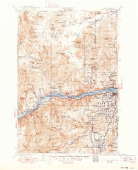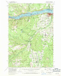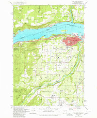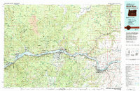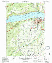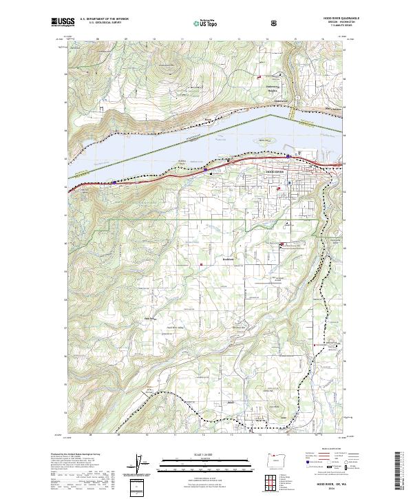
2024 Map of Hood River
USGS Topo · Published 2024About this map
Columbia Gorge serves as the central artery for this landscape, separating Oregon and Washington while defining the region's transport and settlement patterns. Along the southern bank, the city of Hood River serves as a hub, anchored by the Hood River County Court House and surrounded by a concentration of local history at Saint Mary's Cem and Idlewild Cem. The terrain rises sharply from the riverbanks into the Hood River Valley, where smaller communities like Rockford, Odell, and Oak Grove are situated among the orchards and foothills. North of the river, the Washington side features Underwood Heights and the Spring Creek National Fish Hatchery near the mouth of the White Salmon River. This detailed survey tracks the development of the fruit-growing district, showing how irrigation and elevation have shaped the modern layout of these historic agricultural settlements.
Find a feature on this map
94 named features on this map. Tap any name to fly to it.
Don’t see what you’re looking for? This feature index may not catch every label — zoom into the map to look around manually.
Map Details
Editions of this 2024 Hood River Map
This is the sole edition of this map. No revisions or reprints were ever made.
Historical Maps of Stranahan's Addition Through Time
7 maps found