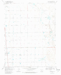
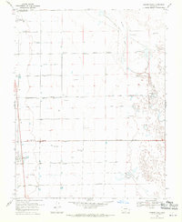
1968 Map of Hooper East
USGS Topo · Published 1982About this map
Agricultural development in the San Luis Valley is meticulously documented on this late 1960s survey, dominated by a grid of numbered roads including Elevenmile Lane and Fourmile Lane. The landscape reflects a high-altitude desert environment transformed by hydraulic engineering, as evidenced by the San Luis Valley Irrigation Drain and numerous Flowing Wells dotting the valley floor. The small settlements of Hooper and Mosca anchor the western edge, serving as vital rail or road hubs for the surrounding farmsteads. To the east, the natural drainage of San Luis Creek and the presence of Bachelor Lake indicate the proximity of the dunes. The map's layout, featuring irrigation structures like Gibson Ditch and the South Lateral, reveals the complex water management systems required to sustain the region's ranching and farming economy during this era.
Find a feature on this map
23 named features on this map. Tap any name to fly to it.
Don’t see what you’re looking for? This feature index may not catch every label — zoom into the map to look around manually.
Map Details
Editions of this 1968 Hooper East Map
2 editions found
Other maps of this area

1954 · Trinidad
USGS Topo · 1:250,000

1955 · Trinidad
USGS Topo · 1:250,000

1958 · Trinidad
USGS Topo · 1:250,000

1959 · Trinidad
USGS Topo · 1:250,000

1965 · Medano Ranch
USGS Topo · 1:24,000

1965 · Dry Lakes
USGS Topo · 1:24,000
1966 · Mount Pleasant School
USGS Topo · 1:24,000
1966 · Hooper SE
USGS Topo · 1:24,000
1967 · Sand Camp
USGS Topo · 1:24,000
1968 · Hooper East
USGS Topo · 1:24,000