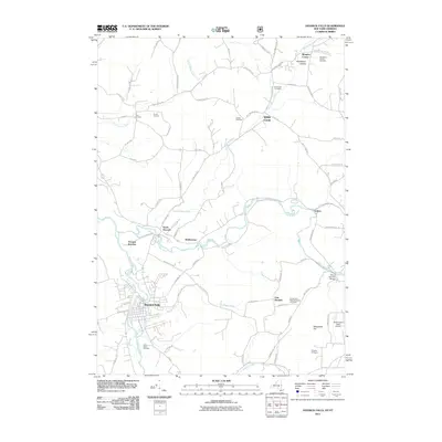
2011 Map of Hoosick Falls
USGS Topo · Published 2011About this map
Hoosick Falls sits at the confluence of the Hoosic River and Woods Brook, serving as a central hub in this borderland topography between New York and Vermont. The map reveals a dense network of local routes, such as Lincoln Hill Rd and Shaker Hollow Rd, connecting several small settlements including Walloomsac, White Creek, and Sodom. This 2011 survey documents a landscape where agricultural heritage, represented by Perrys Orchard, coexists with infrastructure like the Bennington State Airport.
Find a feature on this map
77 named features on this map. Tap any name to fly to it.
Don’t see what you’re looking for? This feature index may not catch every label — zoom into the map to look around manually.
Map Details
Editions of this 2011 Hoosick Falls Map
This is the sole edition of this map. No revisions or reprints were ever made.
Other maps of this area

1894 · Equinox
USGS Topo · 1:62,500

1895 · Cambridge
USGS Topo · 1:62,500

1896 · Equinox
USGS Topo · 1:62,500

1897 · Hoosick
USGS Topo · 1:62,500

1898 · Cambridge
USGS Topo · 1:62,500

1898 · Bennington
USGS Topo · 1:62,500

1900 · Taconic
USGS Topo · 1:125,000

1900 · Equinox
USGS Topo · 1:62,500

1901 · Cambridge
USGS Topo · 1:62,500

1903 · Mettawee
USGS Topo · 1:125,000