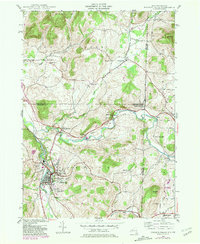
1943 Map of Hoosick Falls
USGS Topo · Published 1981About this map
The Walloomsac River and Hoosick River define the industrial and agricultural landscape of this border region during the mid-20th century. At the heart of the map is the village of Hoosick Falls, a dense center of settlement surrounded by early-century institutions such as St Marys Cem and the Hoosick Falls Country Club. The historical significance of the area is anchored by the Bennington Battlefield Park near the village of Walloomsac, marking a pivotal Revolutionary War site near the New York-Vermont state line.
Find a feature on this map
39 named features on this map. Tap any name to fly to it.
Don’t see what you’re looking for? This feature index may not catch every label — zoom into the map to look around manually.
Map Details
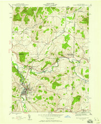
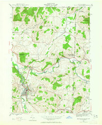
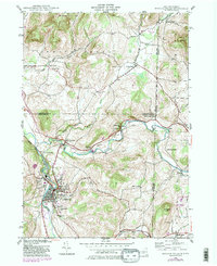
Editions of this 1943 Hoosick Falls Map
4 editions found
Other maps of this area

1894 · Equinox
USGS Topo · 1:62,500

1895 · Cambridge
USGS Topo · 1:62,500

1896 · Equinox
USGS Topo · 1:62,500

1897 · Hoosick
USGS Topo · 1:62,500

1898 · Cambridge
USGS Topo · 1:62,500

1898 · Bennington
USGS Topo · 1:62,500

1900 · Taconic
USGS Topo · 1:125,000

1900 · Equinox
USGS Topo · 1:62,500

1901 · Cambridge
USGS Topo · 1:62,500

1903 · Mettawee
USGS Topo · 1:125,000