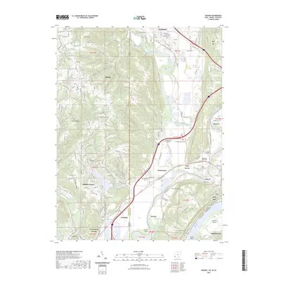
2023 Map of Hooven
USGS Topo · Published 2023About this map
The Whitewater River and Great Miami River converge here just before joining the Ohio River, creating a complex tri-state landscape at the intersection of Indiana, Ohio, and Kentucky. This convergence has historically dictated the region's transport patterns, seen today in the corridors of CSX Transportation and major interchanges at Valley Junction. The terrain transitions from the low-lying North Bend Bottom to the elevated ridges of Jackson Ridge and Harrison Hill.
Find a feature on this map
170 named features on this map. Tap any name to fly to it.
Don’t see what you’re looking for? This feature index may not catch every label — zoom into the map to look around manually.
Map Details
Editions of this 2023 Hooven Map
This is the sole edition of this map. No revisions or reprints were ever made.
Other maps of this area

1914 · West Cincinnati
USGS Topo · 1:62,500

1915 · Lawrenceburg
USGS Topo · 1:48,000

1915 · Harrison
USGS Topo · 1:48,000

1915 · Hamilton
USGS Topo · 1:62,500

1917 · Hamilton
USGS Topo · 1:62,500

1928 · Lawrenceburg
USGS Topo · 1:62,500

1932 · Lawrenceburg
USGS Topo · 1:62,500

1943 · Aurora
USGS Topo · 1:24,000

1943 · Hooven
USGS Topo · 1:24,000

1943 · Guilford
USGS Topo · 1:24,000