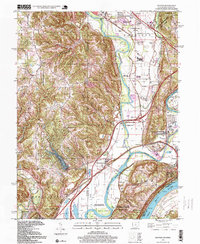
1996 Map of Hooven
USGS Topo · Published 1999About this map
The Great Miami River and Ohio River converge in this tri-state area, defining the industrial and recreational landscape of the mid-1990s. The confluence is a focal point for conservation and history, featuring the Great Miami River State Wildlife Area and Shawnee Lookout County Park, while the Harrison Tomb State Memorial near North Bend preserves the legacy of the ninth U.S. President.
Find a feature on this map
56 named features on this map. Tap any name to fly to it.
Don’t see what you’re looking for? This feature index may not catch every label — zoom into the map to look around manually.
Map Details
Editions of this 1996 Hooven Map
This is the sole edition of this map. No revisions or reprints were ever made.
Other maps of this area

1914 · West Cincinnati
USGS Topo · 1:62,500
1915 · Lawrenceburg
USGS Topo · 1:48,000
1915 · Harrison
USGS Topo · 1:48,000
1915 · Hamilton
USGS Topo · 1:62,500
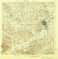
1917 · Hamilton
USGS Topo · 1:62,500
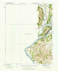
1928 · Lawrenceburg
USGS Topo · 1:62,500
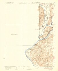
1932 · Lawrenceburg
USGS Topo · 1:62,500
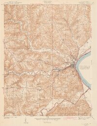
1943 · Aurora
USGS Topo · 1:24,000
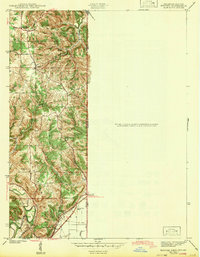
1943 · Hooven
USGS Topo · 1:24,000
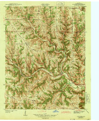
1943 · Guilford
USGS Topo · 1:24,000