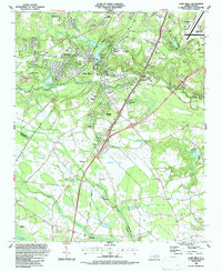
1986 Map of Hope Mills
USGS Topo · Published 1987About this map
Hope Mills sits at the center of this mid-1980s survey, defined by the convergence of Little Rockfish Creek and Beaver Creek into Rockfish Creek. The map documents a landscape in transition, where established residential clusters like Pinet Knoll and Colonial Heights meet a network of older transportation routes, including the Old Grade Railroad and active CSX lines. The topography is uniquely marked by large natural depressions and bay formations, specifically Gallberry Bay and Odom Bay, which break up the wooded terrain and agricultural parcels in the southern portion of the quadrangle.
Find a feature on this map
61 named features on this map. Tap any name to fly to it.
Don’t see what you’re looking for? This feature index may not catch every label — zoom into the map to look around manually.
Map Details
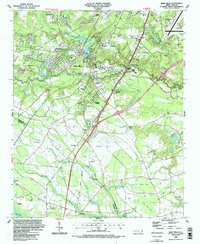
Editions of this 1986 Hope Mills Map
2 editions found
Other maps of this area

1948 · Fayetteville
USGS Topo · 1:62,500

1948 · Clifdale
USGS Topo · 1:62,500

1948 · Clifdale
USGS Topo · 1:24,000

1949 · Vander
USGS Topo · 1:24,000

1950 · Clifdale
USGS Topo · 1:24,000

1950 · Fayetteville
USGS Topo · 1:24,000

1951 · Clifdale
USGS Topo · 1:62,500

1953 · Florence
USGS Topo · 1:250,000

1953 · Raleigh
USGS Topo · 1:250,000

1954 · Florence
USGS Topo · 1:250,000