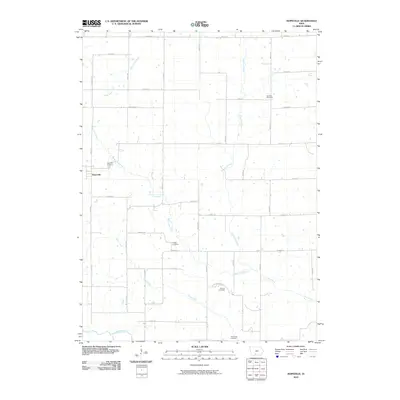
2010 Map of Hopeville
USGS Topo · Published 2010About this map
Hopeville serves as the central hub of this agrarian landscape, a small settlement surrounded by a network of drainage systems including West Long Creek, East Long Creek, and the meandering Thompson River at the southern edge. The map captures a well-defined grid of township roads such as Hoover St, Elk St, and 140th Ave, which connect several legacy burial sites essential for genealogical research. These include Hopeville Cemetery, Sanders Cemetery, Gregg Cemetery, Warrick Cemetery, and the Tennessee Cemetery located near the Clarke-Decatur county line. The drainage patterns of Short Creek and its tributaries reveal the natural topography that shaped the area's farming boundaries during the early 21st century.
Find a feature on this map
36 named features on this map. Tap any name to fly to it.
Don’t see what you’re looking for? This feature index may not catch every label — zoom into the map to look around manually.
Map Details
Editions of this 2010 Hopeville Map
This is the sole edition of this map. No revisions or reprints were ever made.
Other maps of this area

1951 · Osceola
USGS Topo · 1:62,500

1951 · Afton
USGS Topo · 1:62,500

1954 · Centerville
USGS Topo · 1:250,000

1954 · Omaha
USGS Topo · 1:250,000

1954 · Des Moines
USGS Topo · 1:250,000

1955 · Nebraska City
USGS Topo · 1:250,000

1956 · Des Moines
USGS Topo · 1:250,000

1957 · Des Moines
USGS Topo · 1:250,000

1957 · Nebraska City
USGS Topo · 1:250,000

1957 · Omaha
USGS Topo · 1:250,000