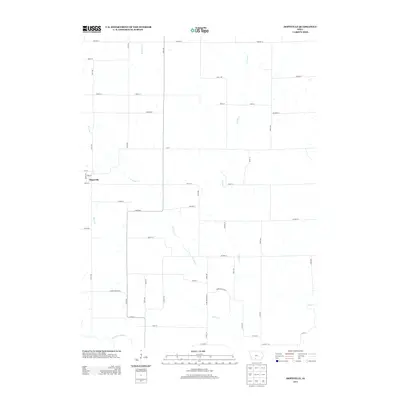
2013 Map of Hopeville
USGS Topo · Published 2013About this map
Hopeville anchors this part of southern Iowa, where the landscape is defined by the headwaters and tributaries of the Thompson River. The settlement layout follows a traditional grid, bordered by streets like Eden St and Doyle St, while the surrounding rural township is partitioned by a network of numbered avenues such as 120th Ave and 140th Ave. This area sits at the intersection of local history and administrative geography, highlighted by the Clarke-Decatur St boundary line. The drainage pattern is particularly intricate here, with W Long Cr, E Long Cr, and Short Cr carving paths through the terrain before meeting the Long Cr system. The map provides a clear record of the rural road network, from named routes like Bobcat St and Clover St to the sectional farm lanes that have connected these agricultural lands for generations.
Find a feature on this map
48 named features on this map. Tap any name to fly to it.
Don’t see what you’re looking for? This feature index may not catch every label — zoom into the map to look around manually.
Map Details
Editions of this 2013 Hopeville Map
This is the sole edition of this map. No revisions or reprints were ever made.
Other maps of this area

1951 · Osceola
USGS Topo · 1:62,500

1951 · Afton
USGS Topo · 1:62,500

1954 · Centerville
USGS Topo · 1:250,000

1954 · Omaha
USGS Topo · 1:250,000

1954 · Des Moines
USGS Topo · 1:250,000

1955 · Nebraska City
USGS Topo · 1:250,000

1956 · Des Moines
USGS Topo · 1:250,000

1957 · Des Moines
USGS Topo · 1:250,000

1957 · Nebraska City
USGS Topo · 1:250,000

1957 · Omaha
USGS Topo · 1:250,000