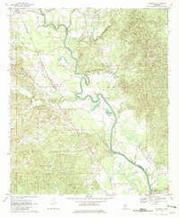
1970 Map of Hopewell
USGS Topo · Published 1982About this map
The Pearl River defines the landscape as it meanders through the borderlands between Copiah and Simpson counties, creating a complex network of oxbows and swampy lowlands. Small agrarian settlements and rural communities like Hopewell, Gatesville, and Reno are scattered throughout the region, connected by winding country roads and the tracks of the Gulf Mobile and Ohio railroad. Evidence of the area's older transportation history is visible in the Old Railroad Grade found near the southern edge of the survey.
Find a feature on this map
26 named features on this map. Tap any name to fly to it.
Don’t see what you’re looking for? This feature index may not catch every label — zoom into the map to look around manually.
Map Details
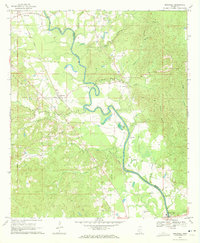
Editions of this 1970 Hopewell Map
2 editions found
Other maps of this area

1903 · Jackson
USGS Topo · 1:125,000

1906 · Florence
USGS Topo · 1:62,500

1908 · Florence
USGS Topo · 1:62,500

1937 · Terry
USGS Topo · 1:48,000

1943 · Terry
USGS Topo · 1:62,500

1953 · Natchez
USGS Topo · 1:250,000

1955 · Jackson
USGS Topo · 1:250,000

1956 · Natchez
USGS Topo · 1:250,000

1959 · Natchez
USGS Topo · 1:250,000

1961 · Jackson
USGS Topo · 1:250,000