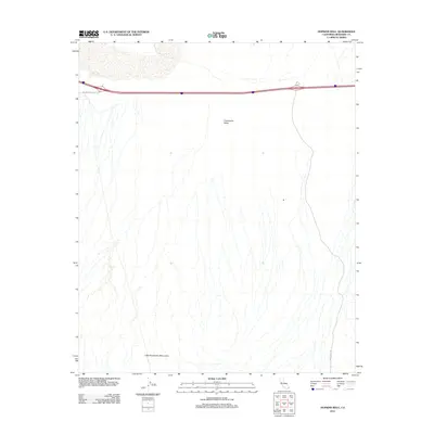
2012 Map of Hopkins Well
USGS Topo · Published 2012About this map
Chuckwalla Valley Rd and the corridor of Interstate 10 cut across this desert landscape in the early 21st century. The map centers on the Chuckwalla Valley, a wide expanse of desert terrain defined by numerous dry wash patterns that descend from the surrounding heights toward the basin floor. To the south, the foothills of the Little Chuckwalla Mountains rise, providing a stark topographical contrast to the valley floor. Historically significant water sources like Hopkins Well are recorded here, marking the vital points of human and animal survival in the arid Colorado Desert. The presence of Wiley Well Rd in the southeastern corner indicates the established routes used by travelers and rockhounds accessing this remote portion of Riverside County.
Find a feature on this map
6 named features on this map. Tap any name to fly to it.
Don’t see what you’re looking for? This feature index may not catch every label — zoom into the map to look around manually.
Map Details
Editions of this 2012 Hopkins Well Map
This is the sole edition of this map. No revisions or reprints were ever made.
Other maps of this area

1942 · Blythe
USGS Topo · 1:250,000

1952 · Mc Coy Spring
USGS Topo · 1:62,500

1952 · Sidewinder Well
USGS Topo · 1:62,500

1953 · Palo Verde Mountains
USGS Topo · 1:62,500

1953 · Chuckwalla Spring
USGS Topo · 1:62,500

1954 · Salton Sea
USGS Topo · 1:250,000

1955 · Salton Sea
USGS Topo · 1:250,000

1959 · Salton Sea
USGS Topo · 1:250,000

1963 · Salton Sea
USGS Topo · 1:250,000

1965 · Salton Sea
USGS Topo · 1:250,000