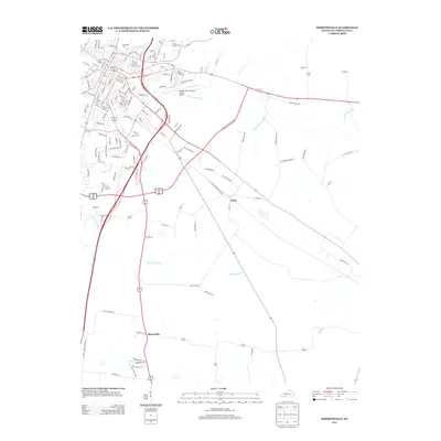
2013 Map of Hopkinsville
USGS Topo · Published 2013About this map
The N Fork Little River and S Fork Little River converge near the heart of this Christian County landscape, framing a period of modern expansion in the early 21st century. The map centers on the southeastern portions of the regional hub, where historic burial grounds like Riverside Cem and Cave Spring Cem sit adjacent to established neighborhoods and industrial corridors. The transition from the dense street grid of the city to the outlying rural character is marked by the Hopkinsville-Christian County Airport and the sprawling agricultural lands surrounding Casky.
Find a feature on this map
141 named features on this map. Tap any name to fly to it.
Don’t see what you’re looking for? This feature index may not catch every label — zoom into the map to look around manually.
Map Details
Editions of this 2013 Hopkinsville Map
This is the sole edition of this map. No revisions or reprints were ever made.
Other maps of this area

1944 · Clarksville
USGS Topo · 1:50,000

1950 · Pembroke
USGS Topo · 1:24,000

1951 · Pembroke
USGS Topo · 1:24,000

1951 · Church Hill
USGS Topo · 1:24,000

1951 · Hopkinsville
USGS Topo · 1:24,000

1951 · Hammacksville
USGS Topo · 1:24,000

1951 · Herndon
USGS Topo · 1:24,000

1951 · Oak Grove
USGS Topo · 1:24,000

1952 · Pleasant Green Hill
USGS Topo · 1:24,000

1952 · Kelly
USGS Topo · 1:24,000