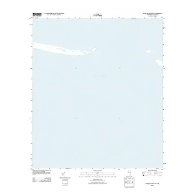
2012 Map of Horn Island East
USGS Topo · Published 2012About this map
The vast expanse of the Gulf of Mexico dominates this Jackson County coastal region, where shifting barrier island shorelines meet the open sea. This 2012 survey documents the Eastern end of Horn Island, an ever-changing landscape of sand spits and coastal shallows that define the Mississippi Sound boundary. The map provides a precise record of the island's morphology at a specific moment in the early 21st century, illustrating how natural forces continue to reshape the barrier system. As an area primarily defined by its hydrological features rather than human infrastructure, the sheet serves as a clear baseline for studying coastal erosion and the geological evolution of the Mississippi gulf coast.
Find a feature on this map
1 named feature on this map. Tap any name to fly to it.
Don’t see what you’re looking for? This feature index may not catch every label — zoom into the map to look around manually.
Map Details
Editions of this 2012 Horn Island East Map
This is the sole edition of this map. No revisions or reprints were ever made.
Other maps of this area

1921 · Grand Bay
USGS Topo · 1:62,500

1921 · Petit Bois Island
USGS Topo · 1:62,500

1941 · Horn Island
USGS Topo · 1:62,500

1942 · Petit Bois Island
USGS Topo · 1:62,500

1942 · Horn Island
USGS Topo · 1:62,500

1943 · Pascagoula
USGS Topo · 1:62,500

1943 · Grand Bay
USGS Topo · 1:62,500

1953 · Mobile
USGS Topo · 1:250,000

1955 · Pascagoula
USGS Topo · 1:62,500

1957 · Mobile
USGS Topo · 1:250,000