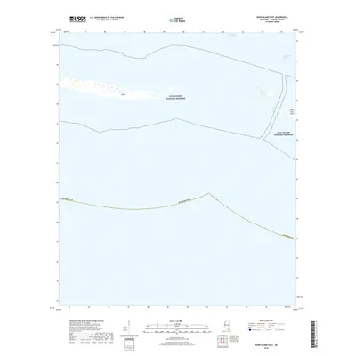
2018 Map of Horn Island East
USGS Topo · Published 2018About this map
The barrier islands of the Gulf Islands National Seashore stand at the edge of the Mississippi Sound, providing a record of the shifting coastal geography of Jackson County. This coastal survey highlights the slender profile of Horn Island and the western tip of Petit Bois Island, separated by the deep waters of Horn Island Pass. These islands are dynamic features, constantly reshaped by the currents of the Gulf of Mexico. Navigation is a central theme here, with the Pascagoula Channel cutting through the Mississippi Sound to provide deep-water access for the region's maritime industry. For local historians and researchers, the map documents the relationship between these protected landforms and the essential shipping lanes that have long sustained the coastal economy of Mississippi.
Find a feature on this map
8 named features on this map. Tap any name to fly to it.
Don’t see what you’re looking for? This feature index may not catch every label — zoom into the map to look around manually.
Map Details
Editions of this 2018 Horn Island East Map
This is the sole edition of this map. No revisions or reprints were ever made.
Other maps of this area

1921 · Grand Bay
USGS Topo · 1:62,500

1921 · Petit Bois Island
USGS Topo · 1:62,500

1941 · Horn Island
USGS Topo · 1:62,500

1942 · Petit Bois Island
USGS Topo · 1:62,500

1942 · Horn Island
USGS Topo · 1:62,500

1943 · Pascagoula
USGS Topo · 1:62,500

1943 · Grand Bay
USGS Topo · 1:62,500

1953 · Mobile
USGS Topo · 1:250,000

1955 · Pascagoula
USGS Topo · 1:62,500

1957 · Mobile
USGS Topo · 1:250,000