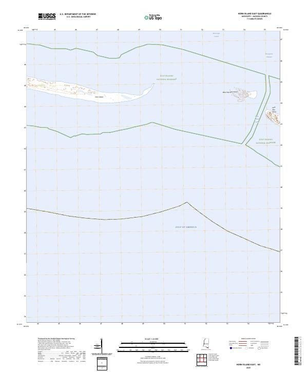
2025 Map of Horn Island East
USGS Topo · Published 2025About this map
Gulf Islands National Seashore encompasses a fragile chain of barrier islands off the Mississippi coast, where shifting sands and maritime habitats remain largely protected from mainland development. This modern survey highlights the Eastern portion of Horn Island, a landform characterized by its elongated shape and sparse interior vegetation. To the east, across the deep waters of Horn Island Pass, lie West Petit Bois Island and the western tip of Petit Bois Island. These islands serve as critical buffers between the relatively sheltered Mississippi Sound and the open waters of the Gulf of America. Navigational features are prominent, including the Pascagoula Channel, which cuts through the sound to provide maritime access to the industrial ports on the mainland. The map illustrates the dynamic nature of these coastal features, shaped by the persistent forces of wind and tide.
Find a feature on this map
8 named features on this map. Tap any name to fly to it.
Don’t see what you’re looking for? This feature index may not catch every label — zoom into the map to look around manually.
Map Details
Editions of this 2025 Horn Island East Map
This is the sole edition of this map. No revisions or reprints were ever made.
Other maps of this area

1921 · Grand Bay
USGS Topo · 1:62,500

1921 · Petit Bois Island
USGS Topo · 1:62,500

1941 · Horn Island
USGS Topo · 1:62,500

1942 · Petit Bois Island
USGS Topo · 1:62,500

1942 · Horn Island
USGS Topo · 1:62,500

1943 · Pascagoula
USGS Topo · 1:62,500

1943 · Grand Bay
USGS Topo · 1:62,500

1953 · Mobile
USGS Topo · 1:250,000

1955 · Pascagoula
USGS Topo · 1:62,500

1957 · Mobile
USGS Topo · 1:250,000