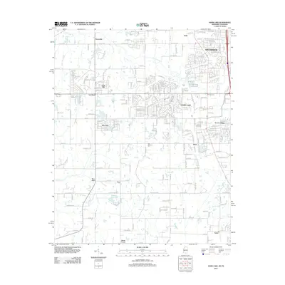
2012 Map of Horn Lake
USGS Topo · Published 2012About this map
Horn Lake and Southaven anchor this 2012 survey of the rapidly growing corridor along the Mississippi-Tennessee border. The landscape is a mix of established residential developments like Holly Hills and Twin Lakes and more rural stretches marked by family-named crossroads and small settlements. The drainage of Horn Lake Creek and Johnson Creek shapes the topography, with Lake Lipscomb providing a focal point in the southern portion of the quadrangle. Local heritage is visible in landmarks such as the New Bethlehem Cemetery and historical nodes like Lynchburg and Barnesville. The map illustrates the suburban expansion pushing south from the Memphis metropolitan area, showing how major arteries like Stateline Road and Church Road connect these evolving communities across the state line.
Find a feature on this map
47 named features on this map. Tap any name to fly to it.
Don’t see what you’re looking for? This feature index may not catch every label — zoom into the map to look around manually.
Map Details
Editions of this 2012 Horn Lake Map
This is the sole edition of this map. No revisions or reprints were ever made.
Other maps of this area

1908 · Lake Cormorant
USGS Topo · 1:24,000

1912 · Lake Cormorant
USGS Topo · 1:31,680

1916 · Memphis
USGS Topo · 1:62,500

1925 · Memphis
USGS Topo · 1:48,000

1927 · Memphis
USGS Topo · 1:62,500

1932 · Horn Lake
USGS Topo · 1:48,000

1935 · Horn Lake
USGS Topo · 1:62,500

1939 · Memphis
USGS Topo · 1:62,500

1944 · Hernando
USGS Topo · 1:62,500

1948 · Helena
USGS Topo · 1:250,000