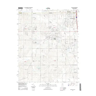
2015 Map of Horn Lake
USGS Topo · Published 2015About this map
The Tennessee-Mississippi state line bisects this region just south of Memphis, where the suburban expansion of Southaven and Horn Lake meets the developing rural landscape of DeSoto County. This 2015 survey documents the transition from established neighborhoods like Holly Hills and De Soto Village to the open land surrounding the communities of Lynchburg, Walls, and Nesbit. The terrain is defined by the drainage systems of Horn Lake Creek and Hurricane Creek, which influence the placement of older settlements and road networks. Genealogists may find interest in the location of New Bethlehem Cem and smaller local centers such as Barnesville, Days, and Aldens. The map provides a clear view of the area's modern infrastructure, including the dense residential streets of Southaven and the more dispersed layouts around Lake Lipscomb and Twin Lakes.
Find a feature on this map
114 named features on this map. Tap any name to fly to it.
Don’t see what you’re looking for? This feature index may not catch every label — zoom into the map to look around manually.
Map Details
Editions of this 2015 Horn Lake Map
This is the sole edition of this map. No revisions or reprints were ever made.
Other maps of this area

1908 · Lake Cormorant
USGS Topo · 1:24,000

1912 · Lake Cormorant
USGS Topo · 1:31,680

1916 · Memphis
USGS Topo · 1:62,500

1925 · Memphis
USGS Topo · 1:48,000

1927 · Memphis
USGS Topo · 1:62,500

1932 · Horn Lake
USGS Topo · 1:48,000

1935 · Horn Lake
USGS Topo · 1:62,500

1939 · Memphis
USGS Topo · 1:62,500

1944 · Hernando
USGS Topo · 1:62,500

1948 · Helena
USGS Topo · 1:250,000