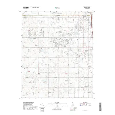
2018 Map of Horn Lake
USGS Topo · Published 2018About this map
The Tennessee-Mississippi border serves as the primary axis for this survey of the suburban and rural landscapes south of Memphis. Development patterns here shift from the dense residential networks of Southaven and Horn Lake in the north to the more open, creek-bottom terrain of Hernando and Nesbit further south. The map documents a complex transition between the urban reach of Shelby and DeSoto Counties, showing how modern arterial roads such as State Line Rd and Goodman Rd W have shaped the growth of communities like Lynchburg and Twin Lakes.
Find a feature on this map
211 named features on this map. Tap any name to fly to it.
Don’t see what you’re looking for? This feature index may not catch every label — zoom into the map to look around manually.
Map Details
Editions of this 2018 Horn Lake Map
This is the sole edition of this map. No revisions or reprints were ever made.
Other maps of this area

1908 · Lake Cormorant
USGS Topo · 1:24,000

1912 · Lake Cormorant
USGS Topo · 1:31,680

1916 · Memphis
USGS Topo · 1:62,500

1925 · Memphis
USGS Topo · 1:48,000

1927 · Memphis
USGS Topo · 1:62,500

1932 · Horn Lake
USGS Topo · 1:48,000

1935 · Horn Lake
USGS Topo · 1:62,500

1939 · Memphis
USGS Topo · 1:62,500

1944 · Hernando
USGS Topo · 1:62,500

1948 · Helena
USGS Topo · 1:250,000