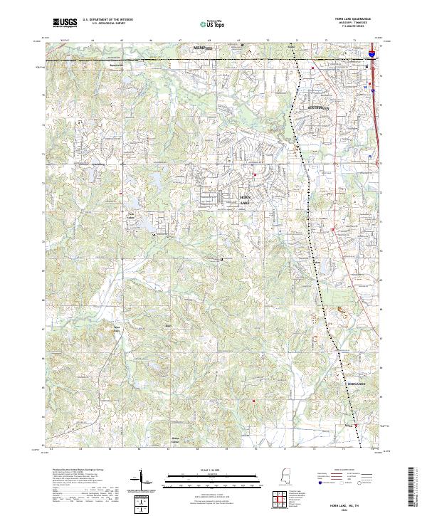
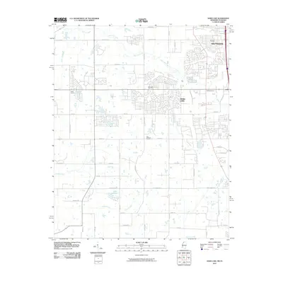
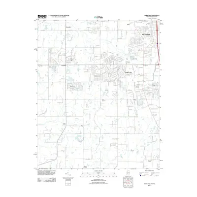
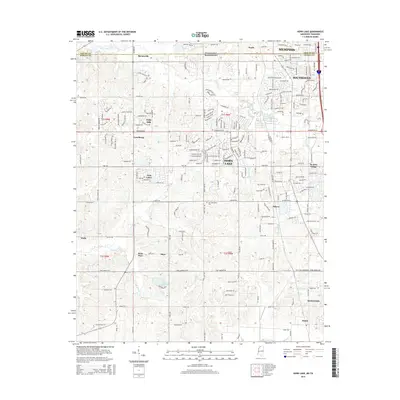
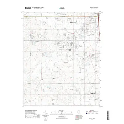
2024 Map of Horn Lake
USGS Topo · Published 2024About this map
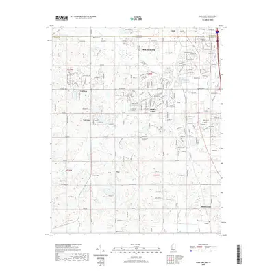
The northern edge of Mississippi, just south of the Tennessee border, shows a landscape defined by rapid suburban expansion into former rural territory. Communities like Horn Lake and Southaven occupy much of the northern half of the sheet, while the southern reaches near Hernando retain more of their traditional agricultural character. Family history and local heritage are anchored by smaller settlements and community landmarks such as Lynchburg, Barnesville, and Nesbit. The terrain is drained by systems like Horn Lake Creek and Cow Pen Creek, which flow through the undulating lands between established towns. Genealogists will find particular value in the documentation of local burial grounds, including the William Henry Johnson Cem and the Edmondson Cem, which remain as historical witnesses amid the growing residential developments of the Memphis periphery.
Find a feature on this map
200 named features on this map. Tap any name to fly to it.
Don’t see what you’re looking for? This feature index may not catch every label — zoom into the map to look around manually.
Map Details
Editions of this 2024 Horn Lake Map
This is the sole edition of this map. No revisions or reprints were ever made.
Historical Maps of Memphis Through Time
10 maps found

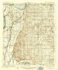
1932 Horn Lake
DeSoto County, MS
1935 Horn Lake
DeSoto County, MS
1961 Horn Lake
DeSoto County, MS
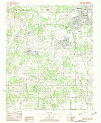
1982 Horn Lake
DeSoto County, MS
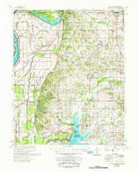
2010 Horn Lake
DeSoto County, MS
2012 Horn Lake
DeSoto County, MS
2015 Horn Lake
DeSoto County, MS
2018 Horn Lake
DeSoto County, MS
2020 Horn Lake
DeSoto County, MS
2024 Horn Lake
DeSoto County, MS