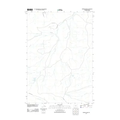
2012 Map of Horner Creek
USGS Topo · Published 2012About this map
Hoodoo Ranch sits near the center of this drainage basin, where high desert terrain is carved by an intricate network of seasonal waterways. The landscape is defined by the convergence of Sage Cr, Horner Cr, and Hoodoo Cr, reflecting a ranching and resource-extraction economy typical of the Big Horn Basin. Human activity is concentrated along gravel paths like Hoodoo Ranch Rd and Half Moon Rd, providing access to the Half Moon Oil Field in the northern reaches. Water management is central to the area's viability, evidenced by the Coe Enlargement Reservoir in the southwest. This 2012 survey illustrates the sparse but deliberate footprint of industry and habitation across Pete Miller Park and the surrounding creek beds.
Find a feature on this map
19 named features on this map. Tap any name to fly to it.
Don’t see what you’re looking for? This feature index may not catch every label — zoom into the map to look around manually.
Map Details
Editions of this 2012 Horner Creek Map
This is the sole edition of this map. No revisions or reprints were ever made.
Other maps of this area

1911 · Meeteetse
USGS Topo · 1:62,500

1911 · Oregon Basin
USGS Topo · 1:62,500

1913 · Oregon Basin
USGS Topo · 1:62,500

1913 · Meeteetse
USGS Topo · 1:62,500

1955 · Cody
USGS Topo · 1:250,000

1957 · Devils Tooth
USGS Topo · 1:62,500

1957 · Sunshine Reservoir
USGS Topo · 1:62,500

1958 · Cody
USGS Topo · 1:250,000

1962 · Cody
USGS Topo · 1:250,000

1980 · Carter Mountain
USGS Topo · 1:100,000