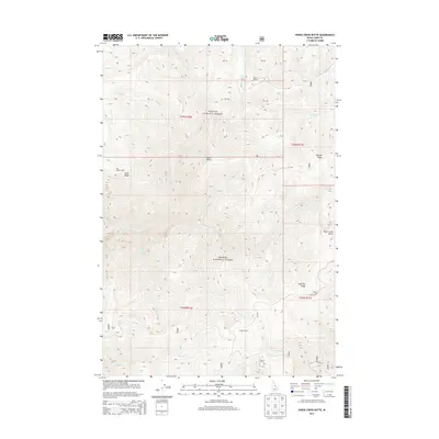
2013 Map of Horse Creek Butte
USGS Topo · Published 2013About this map
Gattin Ranch and Big Indian Camp sit within a landscape defined by the convergence of the Payette National Forest and Salmon National Forest in northern Idaho. This high-country region is characterized by a dense network of watercourses named after livestock and wildlife, including Mustang Cr, Filly Cr, and Broomtail Cr, which drain into the larger Horse Cr. The topography is marked by prominent elevations like Horse Creek Butte and long, linear features such as Long Tom Ridge and Oreana Ridge.
Find a feature on this map
30 named features on this map. Tap any name to fly to it.
Don’t see what you’re looking for? This feature index may not catch every label — zoom into the map to look around manually.
Map Details
Editions of this 2013 Horse Creek Butte Map
This is the sole edition of this map. No revisions or reprints were ever made.
Other maps of this area

1956 · Elk City
USGS Topo · 1:250,000

1960 · Elk City
USGS Topo · 1:250,000

1960 · Painted Rocks Lake
USGS Topo · 1:62,500

1960 · Shoup
USGS Topo · 1:62,500

1962 · Wood Hump
USGS Topo · 1:24,000

1962 · Blue Joint
USGS Topo · 1:24,000

1962 · Square Top
USGS Topo · 1:24,000

1962 · Long Tom Mtn
USGS Topo · 1:24,000

1962 · Horse Creek Butte
USGS Topo · 1:24,000

1962 · Butts Creek Point
USGS Topo · 1:24,000