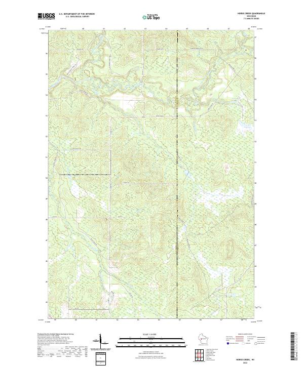
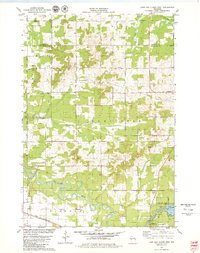
2022 Map of Horse Creek
USGS Topo · Published 2022About this map
The North Fork Eau Claire River and South Fork Eau Claire River converge in this densely wooded region along the border of Eau Claire and Clark Counties. The landscape is defined by an intricate network of wetlands and small tributaries, including Horse Cr and Surveyor Cr, which feed into the primary river systems. In the eastern portion of the quadrangle, the Iron Run Flowage and Spruce Lake represent significant water bodies amidst the timbered terrain.
Find a feature on this map
37 named features on this map. Tap any name to fly to it.
Don’t see what you’re looking for? This feature index may not catch every label — zoom into the map to look around manually.
Map Details
Editions of this 2022 Horse Creek Map
This is the sole edition of this map. No revisions or reprints were ever made.
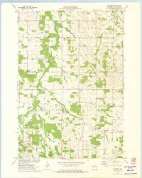
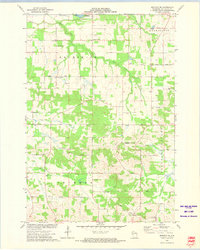
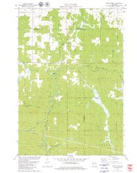
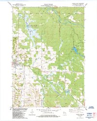
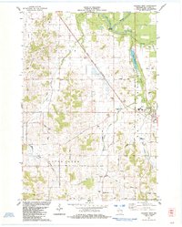
Historical Maps of Foster Through Time
22 maps found
1972 Eau Claire East
Eau Claire County, WI
1972 Eau Claire West
Eau Claire County, WI
1973 Brackett
Eau Claire County, WI
1973 Cleghorn
Eau Claire County, WI
1973 Mondovi NE
Eau Claire County, WI
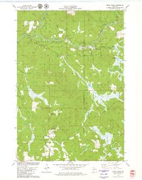
1979 Horse Creek
Eau Claire County, WI
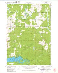
1979 Lake Eau Claire East
Eau Claire County, WI
1979 Lake Eau Claire West
Eau Claire County, WI
1979 Simes Creek
Eau Claire County, WI
1984 Augusta East
Eau Claire County, WI
1984 Augusta West
Eau Claire County, WI
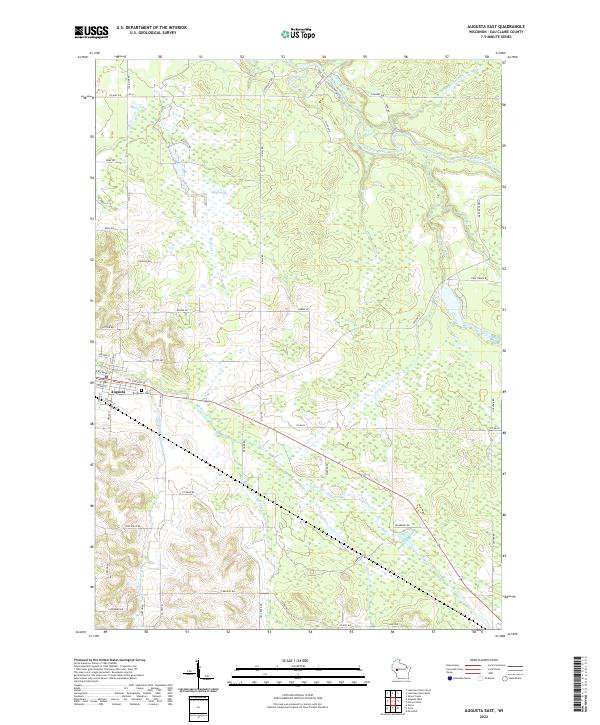
2022 Augusta East
Eau Claire County, WI
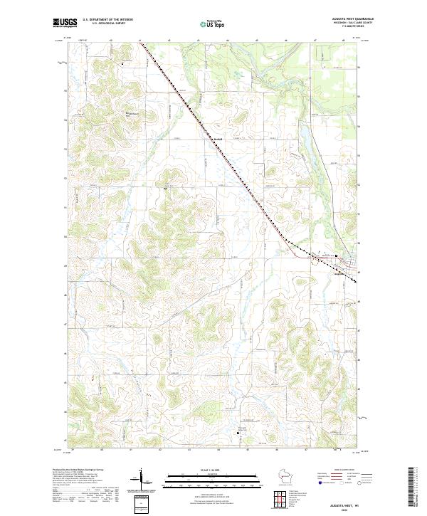
2022 Augusta West
Eau Claire County, WI
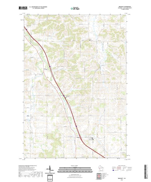
2022 Brackett
Eau Claire County, WI
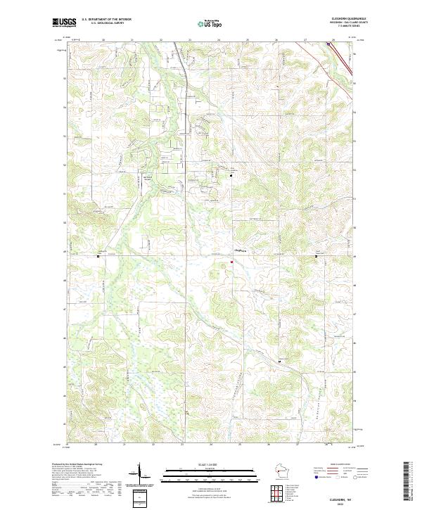
2022 Cleghorn
Eau Claire County, WI
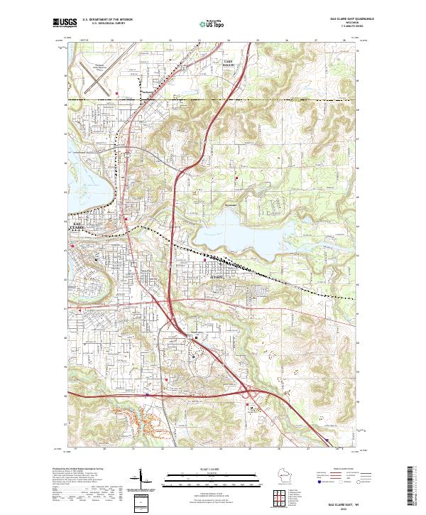
2022 Eau Claire East
Eau Claire County, WI
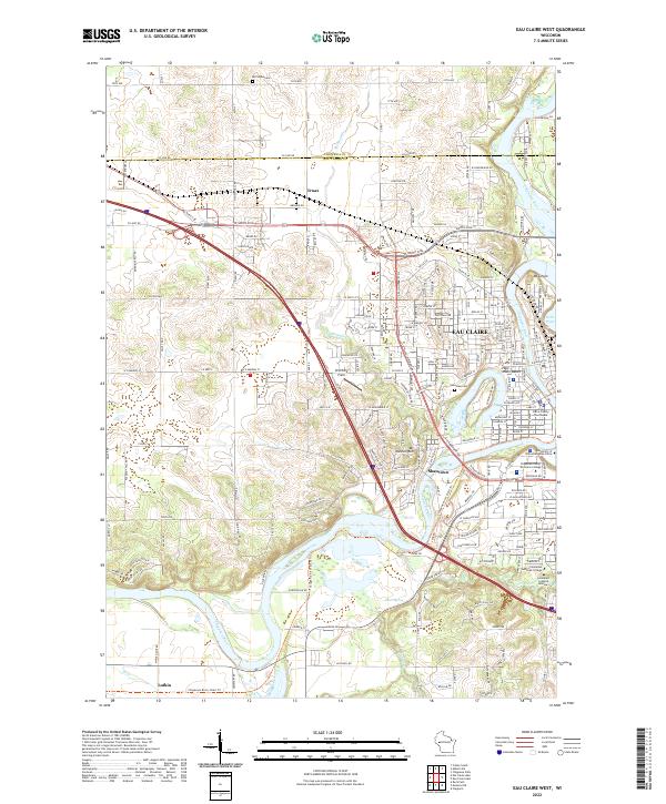
2022 Eau Claire West
Eau Claire County, WI
2022 Horse Creek
Eau Claire County, WI
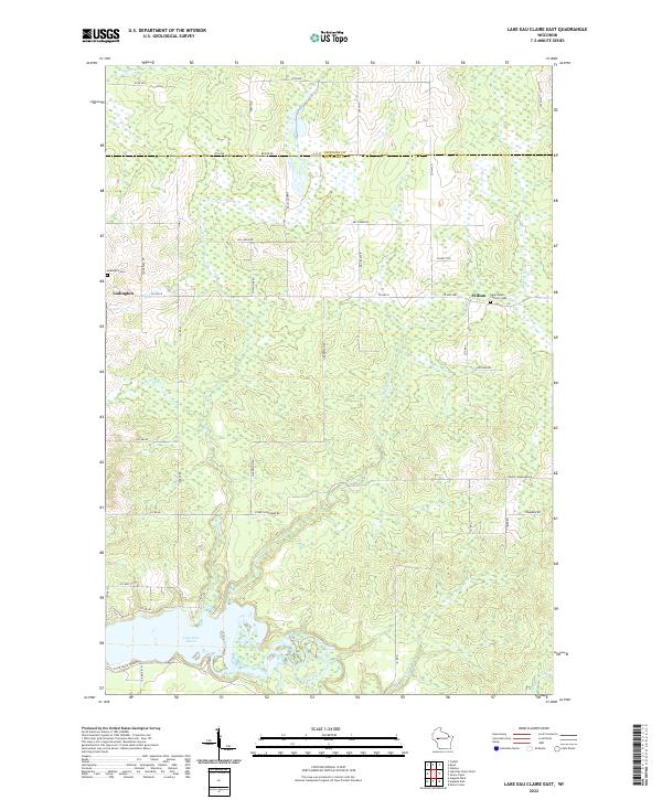
2022 Lake Eau Claire East
Eau Claire County, WI
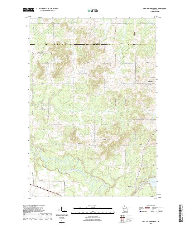
2022 Lake Eau Claire West
Eau Claire County, WI
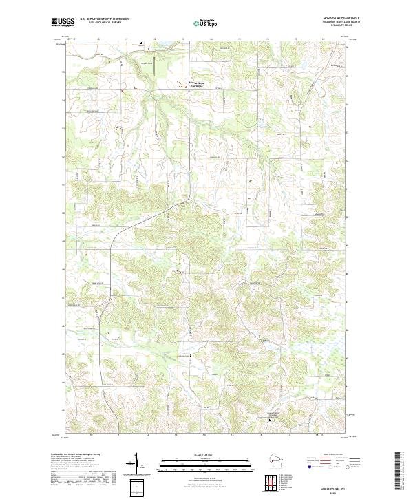
2022 Mondovi NE
Eau Claire County, WI
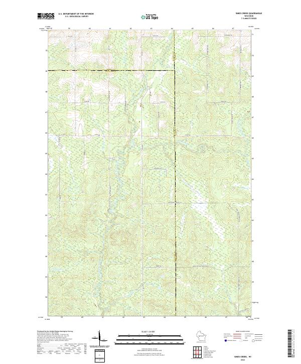
2022 Simes Creek
Eau Claire County, WI