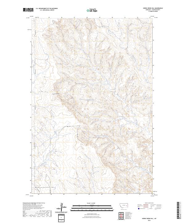
2024 Map of Horse Creek Hill
USGS Topo · Published 2024About this map
Horse Creek Hill rises as the central topographic landmark in this modern study of Custer County's rugged drainage systems. This landscape is defined by the complex branching of intermittent waterways, where Muster Creek and Horse Creek carve distinct paths through the high plains. The transition from the uplands to the creek beds is documented with modern precision, capturing the subtle geography that sustains cattle ranching in eastern Montana.
Find a feature on this map
16 named features on this map. Tap any name to fly to it.
Don’t see what you’re looking for? This feature index may not catch every label — zoom into the map to look around manually.
Map Details
Editions of this 2024 Horse Creek Hill Map
This is the sole edition of this map. No revisions or reprints were ever made.
Other maps of this area

1953 · Miles City
USGS Topo · 1:250,000

1954 · Forsyth
USGS Topo · 1:250,000

1957 · Miles City
USGS Topo · 1:250,000

1957 · Forsyth
USGS Topo · 1:250,000

1958 · Miles City
USGS Topo · 1:250,000

1958 · Forsyth
USGS Topo · 1:250,000

1965 · Twin Buttes School
USGS Topo · 1:24,000

1965 · Morehouse Creek
USGS Topo · 1:24,000
1965 · Crow Rock SE
USGS Topo · 1:24,000

1969 · Horse Creek Hill
USGS Topo · 1:24,000