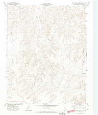
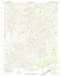
1972 Map of Horse Creek South
USGS Topo · Published 1974About this map
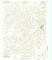
Horse Creek and its intricate drainage network dominate this 1970s topographical study of Roberts County, Texas. This survey, conducted by the USGS and the Texas Water Development Board, reveals a landscape largely defined by ranching and energy infrastructure. The presence of a Landing Strip and multiple networks of Jeep Trail routes suggests the utilitarian needs of large-scale land management in the Texas Panhandle. Modern industrial activity is evidenced by a Pipeline cutting across the terrain and a localized Pumping Sta near Home Ranch Creek. The absence of dense settlements underscores the rural character of this region, where water sources and technical infrastructure like the Horse landmark serve as primary points of orientation for researchers and landowners.
Find a feature on this map
8 named features on this map. Tap any name to fly to it.
Don’t see what you’re looking for? This feature index may not catch every label — zoom into the map to look around manually.
Map Details
Editions of this 1972 Horse Creek South Map
This is the sole edition of this map. No revisions or reprints were ever made.
Other maps of this area

1954 · Amarillo
USGS Topo · 1:250,000

1958 · Amarillo
USGS Topo · 1:250,000
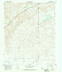
1967 · Lora
USGS Topo · 1:24,000
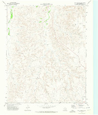
1971 · Dry Creek SE
USGS Topo · 1:24,000
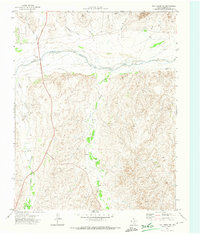
1971 · Dry Creek NE
USGS Topo · 1:24,000
1972 · Washburn Arroyo
USGS Topo · 1:24,000
1972 · Horse Creek North
USGS Topo · 1:24,000
1972 · East Dry Creek
USGS Topo · 1:24,000
1972 · Pampa NE
USGS Topo · 1:24,000
1972 · Miami
USGS Topo · 1:24,000