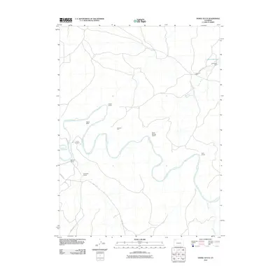
2010 Map of Horse Gulch
USGS Topo · Published 2010About this map
The Yampa River carves a winding path through this corner of Moffat County, serving as the primary geographical anchor for a landscape defined by expansive gulches and high-desert terrain. Evidence of the region’s agricultural and industrial history is sparse but significant, with the Culverwell Ranch and the nearby Culverwell Reservoir and Culverwell Dam situated along the northern reach of County Rd 90.
Find a feature on this map
17 named features on this map. Tap any name to fly to it.
Don’t see what you’re looking for? This feature index may not catch every label — zoom into the map to look around manually.
Map Details
Editions of this 2010 Horse Gulch Map
This is the sole edition of this map. No revisions or reprints were ever made.
Other maps of this area

1910 · Danforth Hills
USGS Topo · 1:125,000

1912 · Axial
USGS Topo · 1:62,500

1914 · Axial
USGS Topo · 1:62,500

1915 · Monument Butte
USGS Topo · 1:62,500

1916 · Craig
USGS Topo · 1:125,000

1954 · Craig
USGS Topo · 1:250,000

1957 · Craig
USGS Topo · 1:250,000

1958 · Craig
USGS Topo · 1:250,000

1960 · Craig
USGS Topo · 1:250,000

1962 · Craig
USGS Topo · 1:250,000