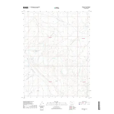
2019 Map of Horse Gulch
USGS Topo · Published 2019About this map
The Yampa River carves a deep, winding path through this corner of Moffat County, defining the drainage patterns for the surrounding high-desert terrain. To the south, the broad Axial Basin transitions into the steep slopes of Duffy Mtn, a prominent landform that dominates the local topography. This 2019 survey documents a landscape primarily shaped by its hydrology and natural drainage systems, including the namesake Horse Gulch and several other deeply incised valleys like Morgan Gulch and Sand Spring Gulch.
Find a feature on this map
19 named features on this map. Tap any name to fly to it.
Don’t see what you’re looking for? This feature index may not catch every label — zoom into the map to look around manually.
Map Details
Editions of this 2019 Horse Gulch Map
This is the sole edition of this map. No revisions or reprints were ever made.
Other maps of this area

1910 · Danforth Hills
USGS Topo · 1:125,000

1912 · Axial
USGS Topo · 1:62,500

1914 · Axial
USGS Topo · 1:62,500

1915 · Monument Butte
USGS Topo · 1:62,500

1916 · Craig
USGS Topo · 1:125,000

1954 · Craig
USGS Topo · 1:250,000

1957 · Craig
USGS Topo · 1:250,000

1958 · Craig
USGS Topo · 1:250,000

1960 · Craig
USGS Topo · 1:250,000

1962 · Craig
USGS Topo · 1:250,000