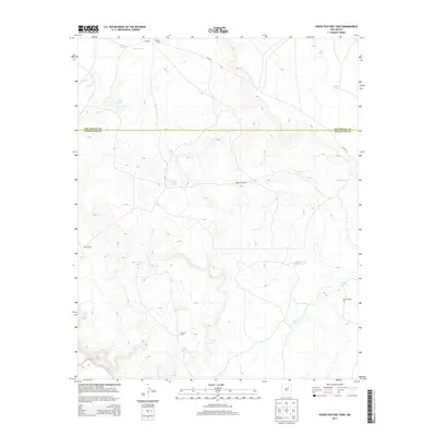
2013 Map of Horse Pasture Tank
USGS Topo · Published 2013About this map
Colonias Camp and Alamito Camp anchor a landscape defined by ranching and vital water management in this arid reach of the high plains. The terrain is marked by an extensive system of catchments and windmills, including Horse Pasture Tank, Eversaw Tank, and the Boggle Windmill, which support the scattered habitations of Payne Ranch and the settlement at Cowden. The Pecos River cuts through the southwest corner, providing a stark geographic contrast to the high-elevation ephemeral drainage basins like Alamito Cr and Esteros Cr.
Find a feature on this map
22 named features on this map. Tap any name to fly to it.
Don’t see what you’re looking for? This feature index may not catch every label — zoom into the map to look around manually.
Map Details
Editions of this 2013 Horse Pasture Tank Map
This is the sole edition of this map. No revisions or reprints were ever made.
Other maps of this area

1892 · Corazon
USGS Topo · 1:125,000

1894 · Corazon
USGS Topo · 1:125,000

1954 · Santa Fe
USGS Topo · 1:250,000

1958 · Santa Fe
USGS Topo · 1:250,000

1963 · Colonias
USGS Topo · 1:24,000

1963 · Pedro Miguel Peak
USGS Topo · 1:24,000

1963 · Cactus Tank
USGS Topo · 1:24,000
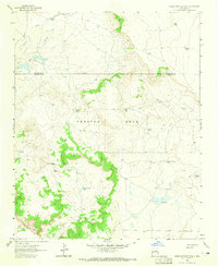
1963 · Horse Pasture Tank
USGS Topo · 1:24,000
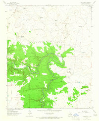
1963 · Catfish Falls
USGS Topo · 1:24,000
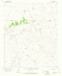
1963 · Bar Y Ranch
USGS Topo · 1:24,000