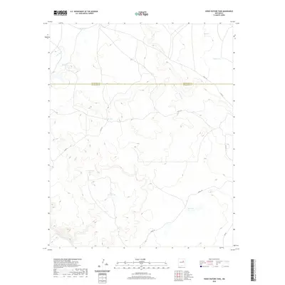
2020 Map of Horse Pasture Tank
USGS Topo · Published 2020About this map
The Pecos River carves through the southwestern corner of this high-desert landscape on the boundary between San Miguel and Guadalupe counties. This terrain is defined by its vital water management infrastructure, where numerous man-made and natural catchments like Horse Pasture Tank, West Colonias Tank, and Eversaw Tank are essential for ranching and land use in an arid environment.
Find a feature on this map
16 named features on this map. Tap any name to fly to it.
Don’t see what you’re looking for? This feature index may not catch every label — zoom into the map to look around manually.
Map Details
Editions of this 2020 Horse Pasture Tank Map
This is the sole edition of this map. No revisions or reprints were ever made.
Other maps of this area

1892 · Corazon
USGS Topo · 1:125,000

1894 · Corazon
USGS Topo · 1:125,000

1954 · Santa Fe
USGS Topo · 1:250,000

1958 · Santa Fe
USGS Topo · 1:250,000

1963 · Colonias
USGS Topo · 1:24,000

1963 · Pedro Miguel Peak
USGS Topo · 1:24,000

1963 · Cactus Tank
USGS Topo · 1:24,000
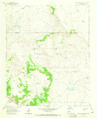
1963 · Horse Pasture Tank
USGS Topo · 1:24,000
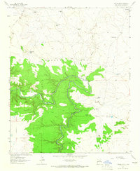
1963 · Catfish Falls
USGS Topo · 1:24,000
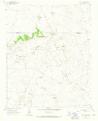
1963 · Bar Y Ranch
USGS Topo · 1:24,000