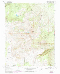
1967 Map of Horsefly Peak
USGS Topo · Published 1984About this map
Horsefly Peak dominates the center of this high-elevation landscape where the borders of Montrose, Ouray, and San Miguel counties converge. The terrain is defined by a series of prominent ridges and mesas, including Log Hill Mesa and Sagehen Ridge, which separate various drainage systems feeding into Horsefly Creek and Fisher Creek. Water management is central to the land's utility, evidenced by numerous named springs and livestock-oriented improvements like Steel Tank Spring and Hally Tank.
Find a feature on this map
45 named features on this map. Tap any name to fly to it.
Don’t see what you’re looking for? This feature index may not catch every label — zoom into the map to look around manually.
Map Details
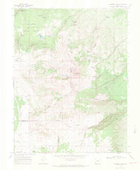
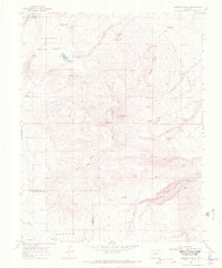
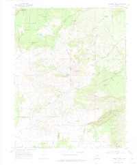
Editions of this 1967 Horsefly Peak Map
4 editions found
Other maps of this area

1909 · Montrose
USGS Topo · 1:125,000

1911 · Montrose
USGS Topo · 1:125,000

1953 · Placerville
USGS Topo · 1:24,000

1956 · Montrose
USGS Topo · 1:250,000

1956 · Moab
USGS Topo · 1:250,000

1959 · Moab
USGS Topo · 1:250,000

1959 · Montrose
USGS Topo · 1:250,000

1960 · Montrose
USGS Topo · 1:250,000

1960 · Moab
USGS Topo · 1:250,000

1962 · Moab
USGS Topo · 1:250,000