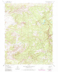
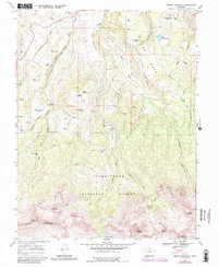
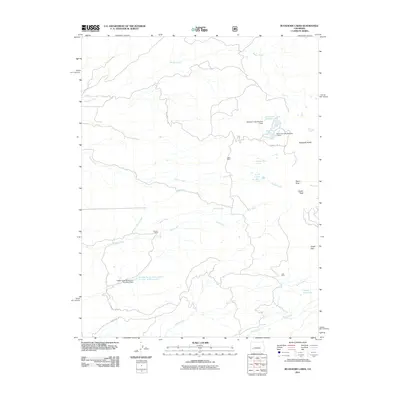
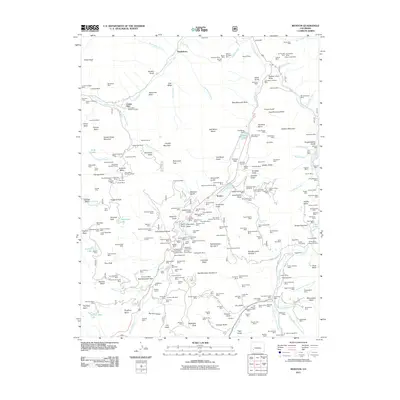
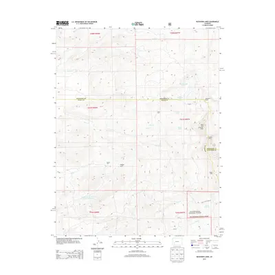
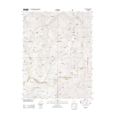
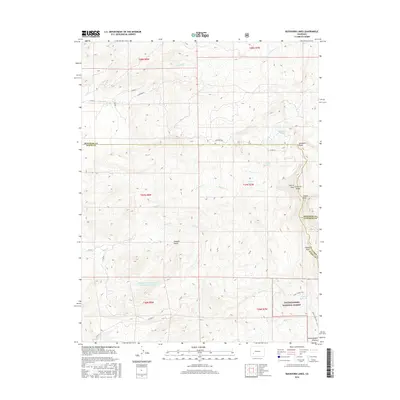
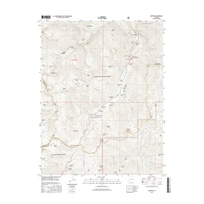
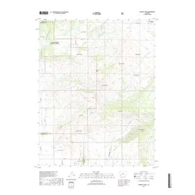
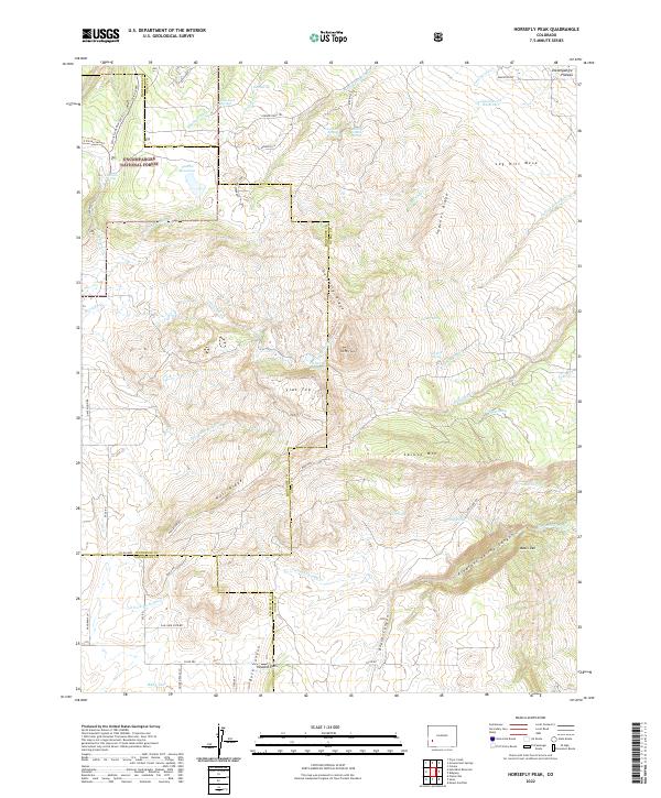
1967 Map of Horsefly Peak
USGS Topo · Published 1971About this map
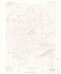
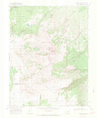
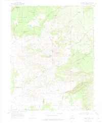
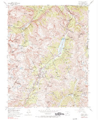
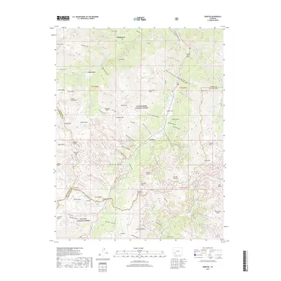
Horsefly Peak serves as the topographic anchor for this high-elevation landscape along the borders of Ouray, Montrose, and San Miguel counties. The 1960s terrain is defined by its water management and ranching infrastructure, featuring numerous catchments like Horse Pasture Reservoir and Cottonwood Reservoir. The map documents established seasonal sites and ranch outposts such as Hofmann Ranch, Hot T Camp, and Mexican Cabin Spring, which indicate the area's ongoing use for grazing within the Uncompahgre National Forest.
Find a feature on this map
51 named features on this map. Tap any name to fly to it.
Don’t see what you’re looking for? This feature index may not catch every label — zoom into the map to look around manually.
Map Details
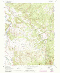
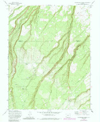
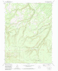
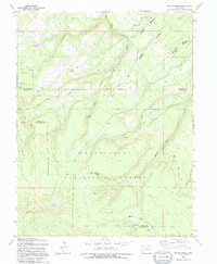
Editions of this 1967 Horsefly Peak Map
4 editions found
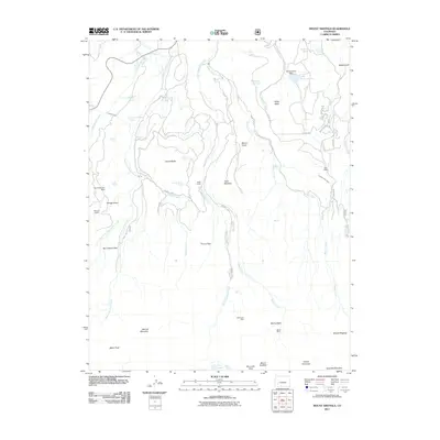
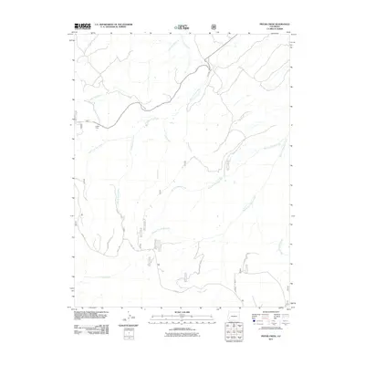
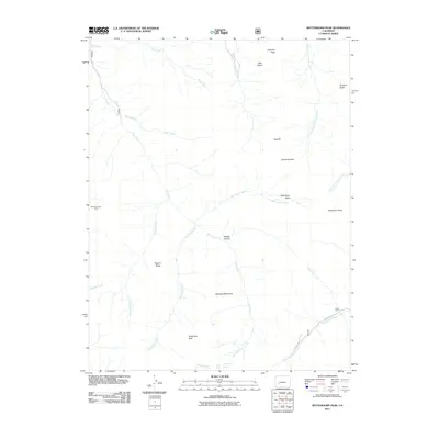
Historical Maps of Montrose County Through Time
49 maps found
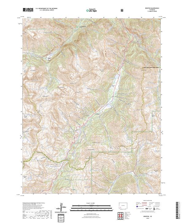
1955 Ironton
Ouray County, CO
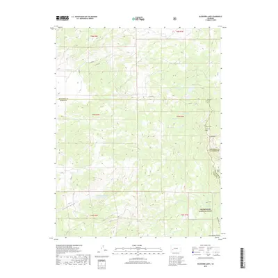
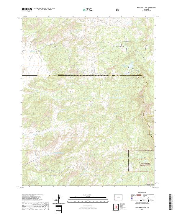
1963 Buckhorn Lakes
Ouray County, CO
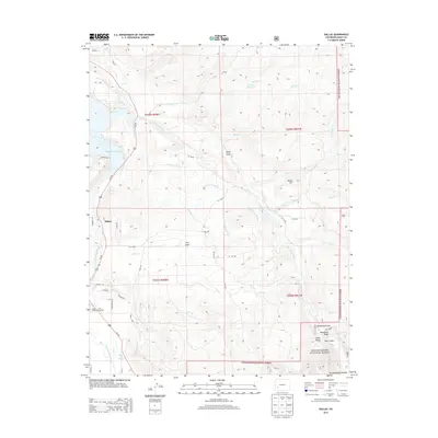
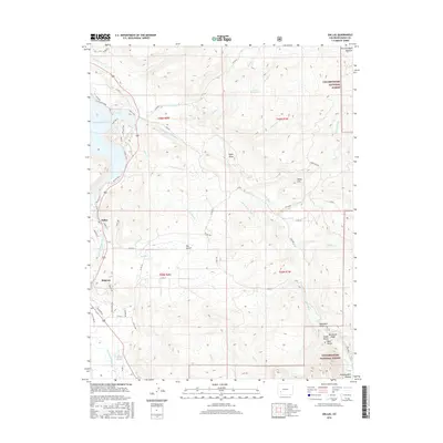
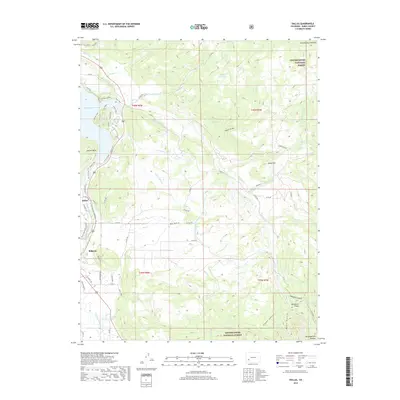
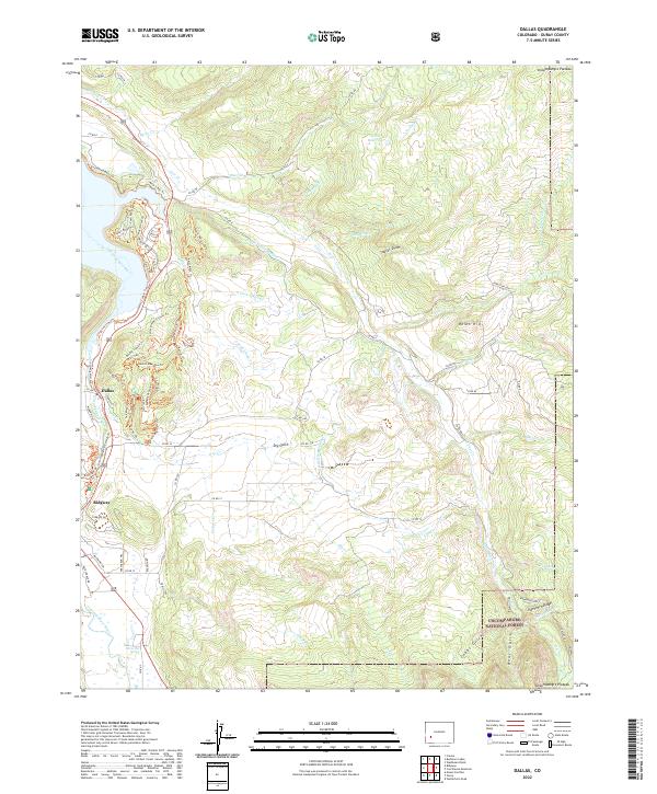
1963 Dallas
Ouray County, CO
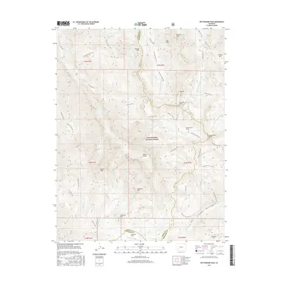
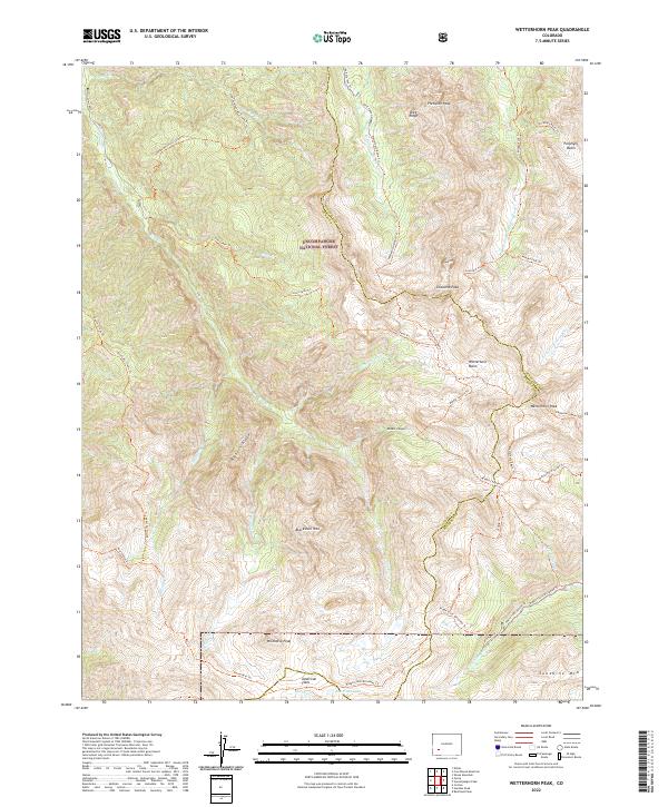
1963 Wetterhorn Peak
Ouray County, CO
1967 Horsefly Peak
Ouray County, CO
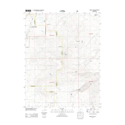
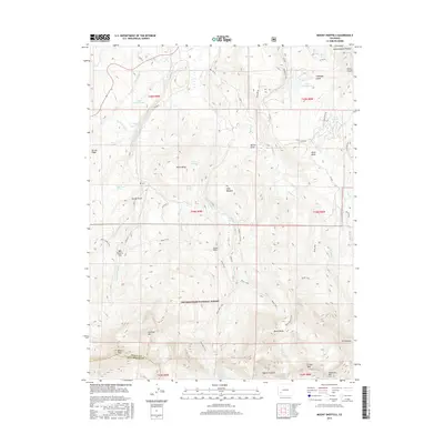
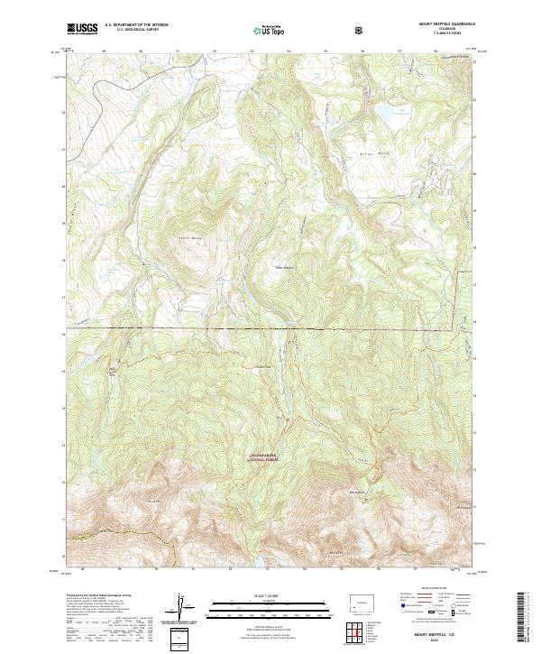
1967 Mount Sneffels
Ouray County, CO
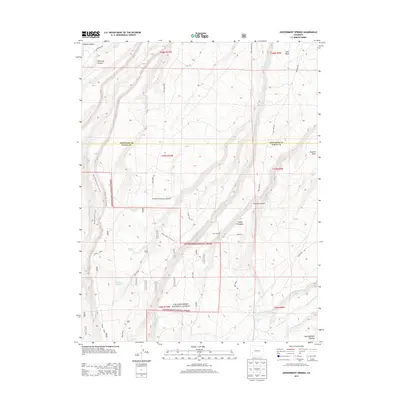
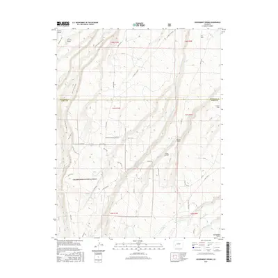
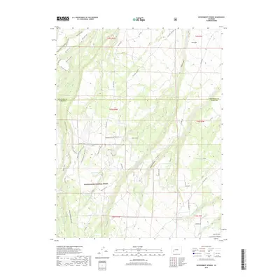
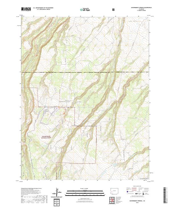
1973 Government Springs
Ouray County, CO
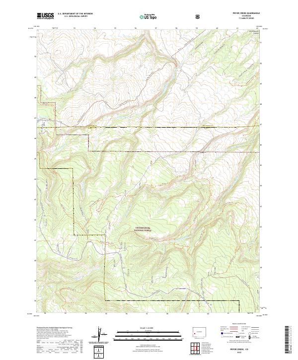
1973 Pryor Creek
Ouray County, CO
1994 Pryor Creek
Ouray County, CO
2011 Buckhorn Lakes
Ouray County, CO
2011 Dallas
Ouray County, CO
2011 Government Springs
Ouray County, CO
2011 Horsefly Peak
Ouray County, CO
2011 Ironton
Ouray County, CO
2011 Mount Sneffels
Ouray County, CO
2011 Pryor Creek
Ouray County, CO
2011 Wetterhorn Peak
Ouray County, CO
2013 Buckhorn Lakes
Ouray County, CO
2013 Dallas
Ouray County, CO
2013 Government Springs
Ouray County, CO
2013 Horsefly Peak
Ouray County, CO
2013 Ironton
Ouray County, CO
2013 Mount Sneffels
Ouray County, CO
2013 Pryor Creek
Ouray County, CO
2013 Wetterhorn Peak
Ouray County, CO
2016 Buckhorn Lakes
Ouray County, CO
2016 Dallas
Ouray County, CO
2016 Government Springs
Ouray County, CO
2016 Horsefly Peak
Ouray County, CO
2016 Ironton
Ouray County, CO
2016 Mount Sneffels
Ouray County, CO
2016 Pryor Creek
Ouray County, CO
2016 Wetterhorn Peak
Ouray County, CO
2019 Buckhorn Lakes
Ouray County, CO
2019 Dallas
Ouray County, CO
2019 Government Springs
Ouray County, CO
2019 Horsefly Peak
Ouray County, CO
2019 Ironton
Ouray County, CO
2019 Mount Sneffels
Ouray County, CO
2019 Pryor Creek
Ouray County, CO
2019 Wetterhorn Peak
Ouray County, CO
2022 Buckhorn Lakes
Ouray County, CO
2022 Dallas
Ouray County, CO
2022 Government Springs
Ouray County, CO
2022 Horsefly Peak
Ouray County, CO
2022 Mount Sneffels
Ouray County, CO
2022 Pryor Creek
Ouray County, CO
2022 Wetterhorn Peak
Ouray County, CO
2023 Ironton
Ouray County, CO