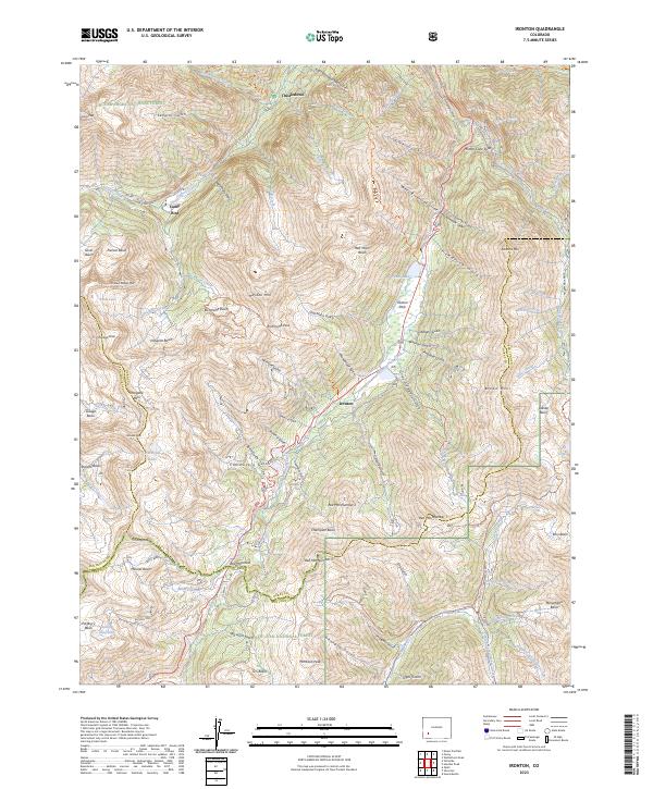
2023 Map of Ironton
USGS Topo · Published 2023About this map
Ironton sits at the heart of this high-alpine landscape, marking a crucial junction between the Uncompahgre National Forest and San Juan National Forest. This 2023 survey documents the enduring topography of a region defined by its intensive mining history and precarious mountain passes. Notable features like the Mother Cline Slide and Red Mountain Pass highlight the dramatic shifts in elevation that dictated movement through the San Juan Mountains. The map details a network of historic basins and peaks, including Richmond Basin, Imogene Basin, and Mineral Basin, which once served as the backbone of the local silver and gold economy. From the isolated settlement at Camp Bird to the peaks of Red Mtn Number 1, Red Mtn Number 2, and Red Mtn Number 3, the geography reflects a century of human effort to navigate and extract wealth from these steep gulches and high basins.
Find a feature on this map
110 named features on this map. Tap any name to fly to it.
Don’t see what you’re looking for? This feature index may not catch every label — zoom into the map to look around manually.
Map Details
Editions of this 2023 Ironton Map
This is the sole edition of this map. No revisions or reprints were ever made.
Other maps of this area

1897 · Telluride
USGS Topo · 1:62,500

1897 · Silverton
USGS Topo · 1:62,500

1901 · Silverton
USGS Topo · 1:62,500

1902 · Silverton
USGS Topo · 1:62,500

1902 · Ouray
USGS Topo · 1:62,500

1904 · Ouray
USGS Topo · 1:62,500

1904 · Telluride
USGS Topo · 1:62,500

1909 · Montrose
USGS Topo · 1:125,000

1911 · Montrose
USGS Topo · 1:125,000

1945 · Durango
USGS Topo · 1:250,000