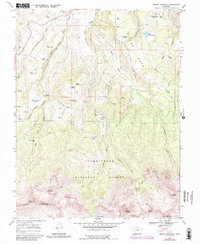
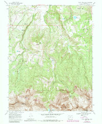
1967 Map of Mount Sneffels
USGS Topo · Published 1987About this map
Uncompahgre National Forest encompasses the high-altitude terrain shown here, where water management and mining historically shaped the San Juan Mountains landscape. The 1967 field check and subsequent 1980s updates reveal a complex network of ditches like the Ridgeway Town Ditch and Dutch Canyon Ditch, illustrating early water engineering efforts to divert flows from Dallas Creek across the high plateaus. Evidence of former industry remains visible through the Old RR Grade in the northwest and the Blaine Mine tucked into Blaine Basin near the southern peaks.
Find a feature on this map
55 named features on this map. Tap any name to fly to it.
Don’t see what you’re looking for? This feature index may not catch every label — zoom into the map to look around manually.
Map Details
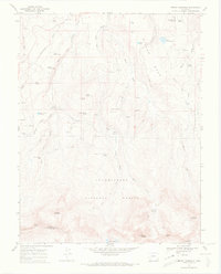
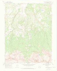
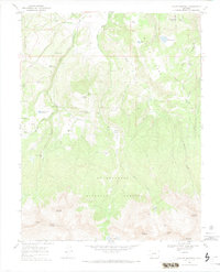
Editions of this 1967 Mount Sneffels Map
5 editions found
Other maps of this area

1897 · Telluride
USGS Topo · 1:62,500

1897 · Silverton
USGS Topo · 1:62,500

1901 · Silverton
USGS Topo · 1:62,500

1902 · Silverton
USGS Topo · 1:62,500

1902 · Ouray
USGS Topo · 1:62,500

1904 · Ouray
USGS Topo · 1:62,500

1904 · Telluride
USGS Topo · 1:62,500

1909 · Montrose
USGS Topo · 1:125,000

1911 · Montrose
USGS Topo · 1:125,000

1945 · Durango
USGS Topo · 1:250,000