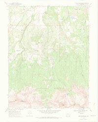
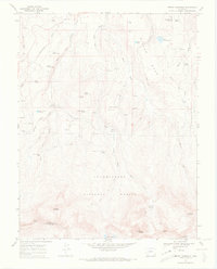
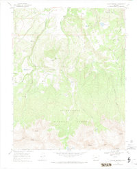
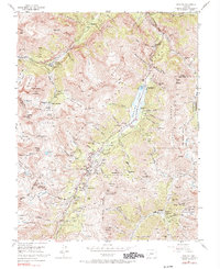
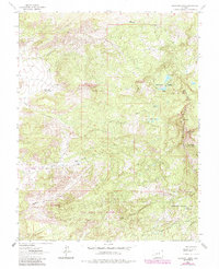
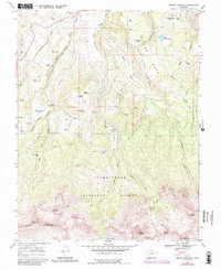
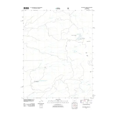
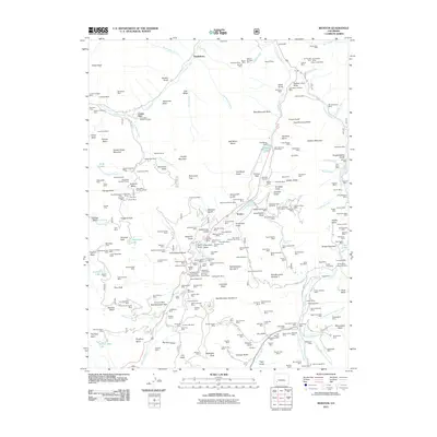
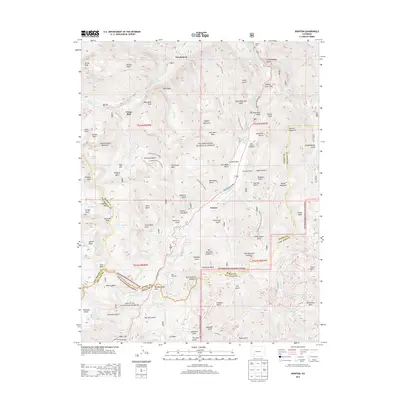
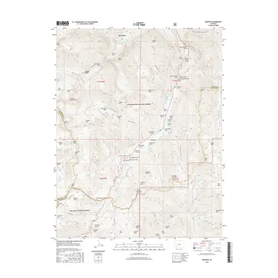
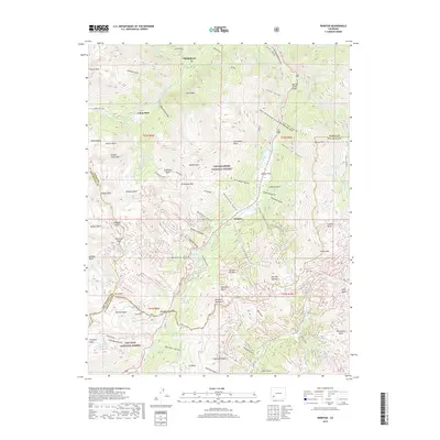
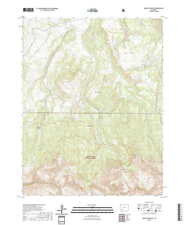
1967 Map of Mount Sneffels
USGS Topo · Published 1971About this map
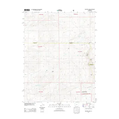
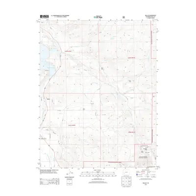
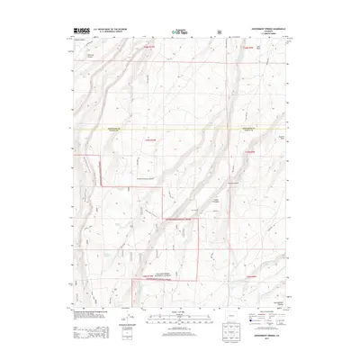
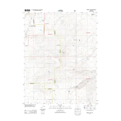
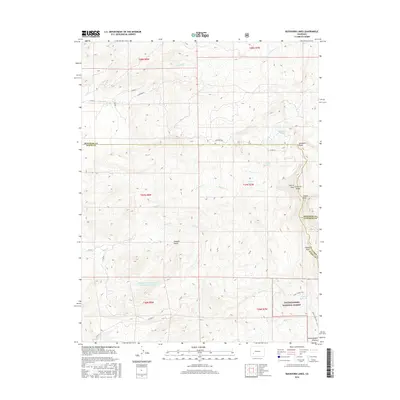
High peaks and alpine basins dominate this 1967 survey of the San Juan Mountains, where the dramatic elevation change from Miller Mesa to the summit of Mount Sneffels is clearly charted. The landscape is defined by the headwaters of Dallas Creek, which drains north through a series of steep draws and meadows like Elder Spring Meadow. Evidence of the region’s industrial and ranching history is scattered throughout the terrain, from the Blaine Mine tucked into Blaine Basin to remote sites like McClure Camp and Vance Place.
Find a feature on this map
44 named features on this map. Tap any name to fly to it.
Don’t see what you’re looking for? This feature index may not catch every label — zoom into the map to look around manually.
Map Details
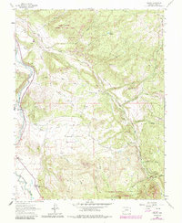
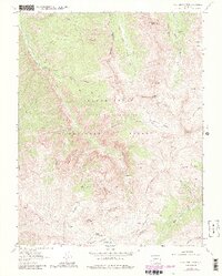
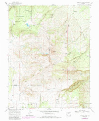
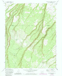
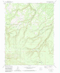
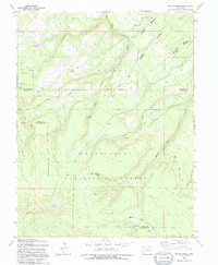
Editions of this 1967 Mount Sneffels Map
5 editions found

Historical Maps of Ouray County Through Time
49 maps found
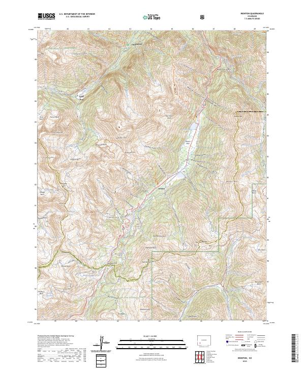
1955 Ironton
Ouray County, CO
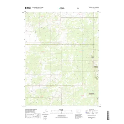
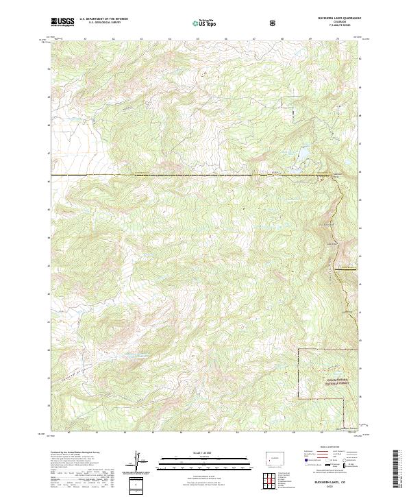
1963 Buckhorn Lakes
Ouray County, CO
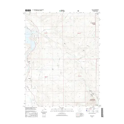
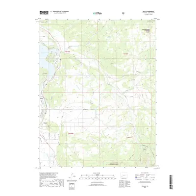
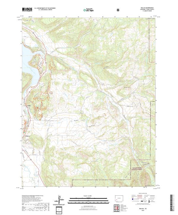
1963 Dallas
Ouray County, CO
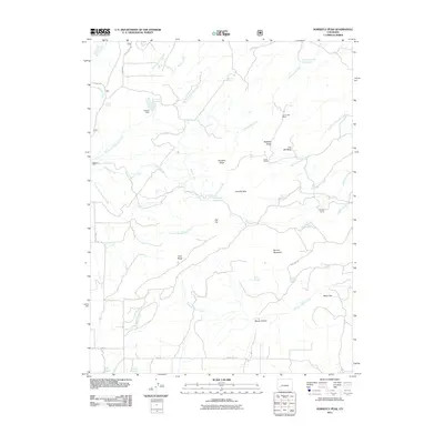
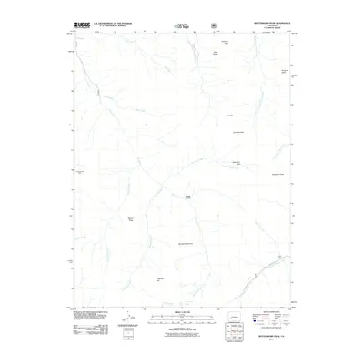
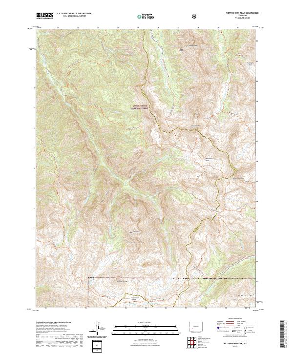
1963 Wetterhorn Peak
Ouray County, CO
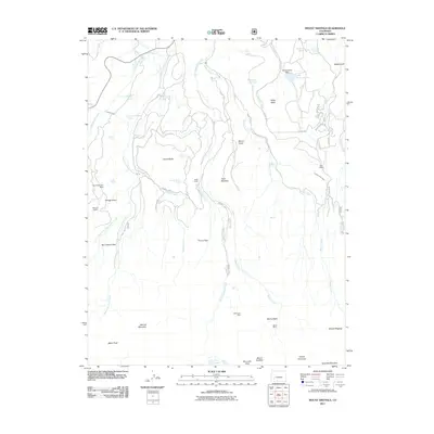
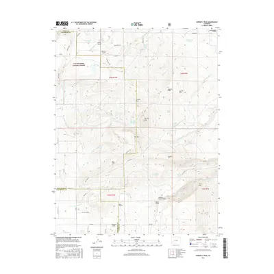
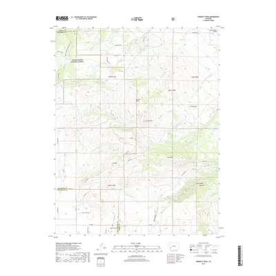
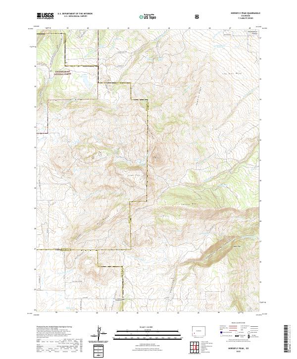
1967 Horsefly Peak
Ouray County, CO
1967 Mount Sneffels
Ouray County, CO
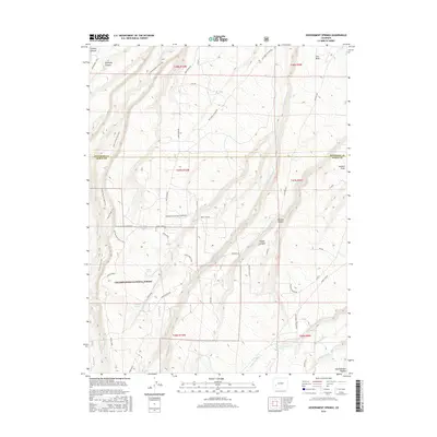
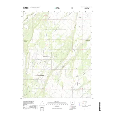
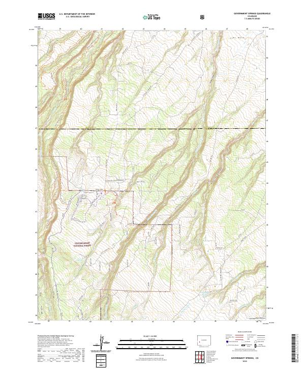
1973 Government Springs
Ouray County, CO
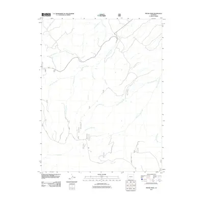
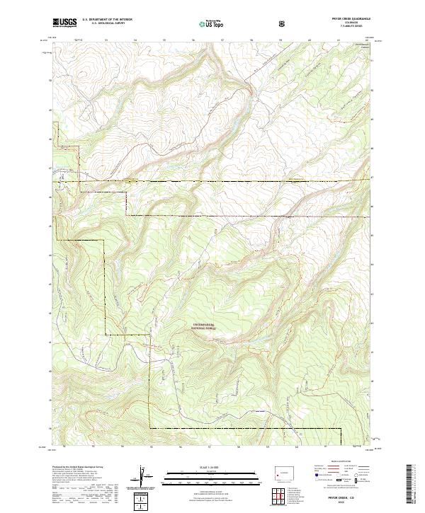
1973 Pryor Creek
Ouray County, CO
1994 Pryor Creek
Ouray County, CO
2011 Buckhorn Lakes
Ouray County, CO
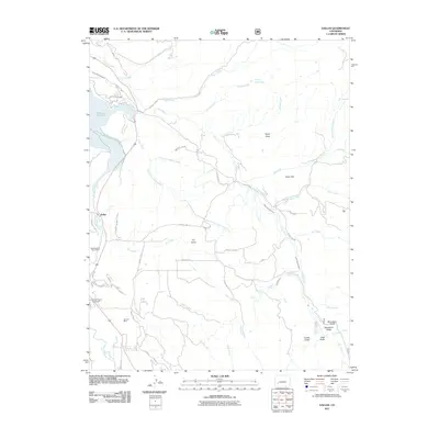
2011 Dallas
Ouray County, CO
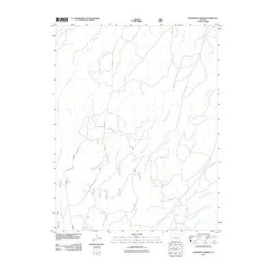
2011 Government Springs
Ouray County, CO
2011 Horsefly Peak
Ouray County, CO
2011 Ironton
Ouray County, CO
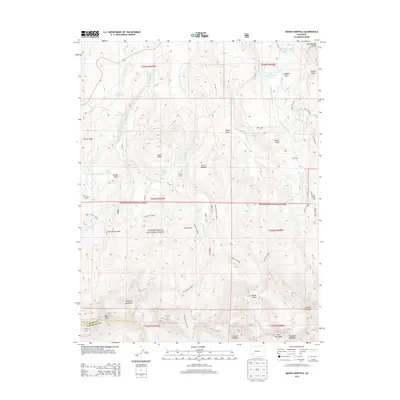
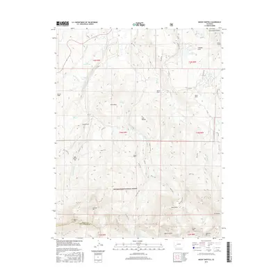
2011 Mount Sneffels
Ouray County, CO
2011 Pryor Creek
Ouray County, CO
2011 Wetterhorn Peak
Ouray County, CO
2013 Buckhorn Lakes
Ouray County, CO
2013 Dallas
Ouray County, CO
2013 Government Springs
Ouray County, CO
2013 Horsefly Peak
Ouray County, CO
2013 Ironton
Ouray County, CO
2013 Mount Sneffels
Ouray County, CO
2013 Pryor Creek
Ouray County, CO
2013 Wetterhorn Peak
Ouray County, CO
2016 Buckhorn Lakes
Ouray County, CO
2016 Dallas
Ouray County, CO
2016 Government Springs
Ouray County, CO
2016 Horsefly Peak
Ouray County, CO
2016 Ironton
Ouray County, CO
2016 Mount Sneffels
Ouray County, CO
2016 Pryor Creek
Ouray County, CO
2016 Wetterhorn Peak
Ouray County, CO
2019 Buckhorn Lakes
Ouray County, CO
2019 Dallas
Ouray County, CO
2019 Government Springs
Ouray County, CO
2019 Horsefly Peak
Ouray County, CO
2019 Ironton
Ouray County, CO
2019 Mount Sneffels
Ouray County, CO
2019 Pryor Creek
Ouray County, CO
2019 Wetterhorn Peak
Ouray County, CO
2022 Buckhorn Lakes
Ouray County, CO
2022 Dallas
Ouray County, CO
2022 Government Springs
Ouray County, CO
2022 Horsefly Peak
Ouray County, CO
2022 Mount Sneffels
Ouray County, CO
2022 Pryor Creek
Ouray County, CO
2022 Wetterhorn Peak
Ouray County, CO
2023 Ironton
Ouray County, CO