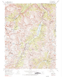
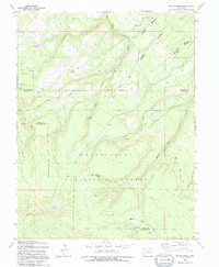
1955 Map of Ironton
USGS Topo · Published 1990About this map
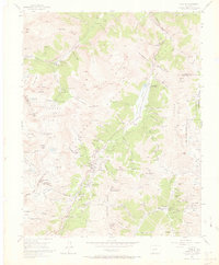
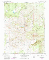
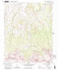
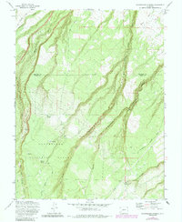
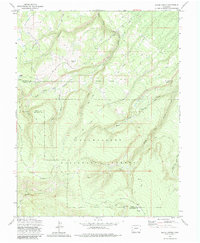
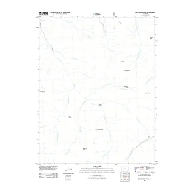
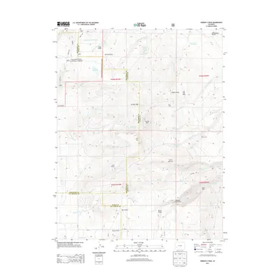
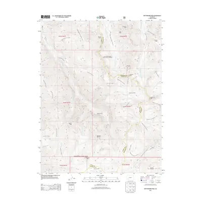
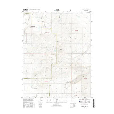
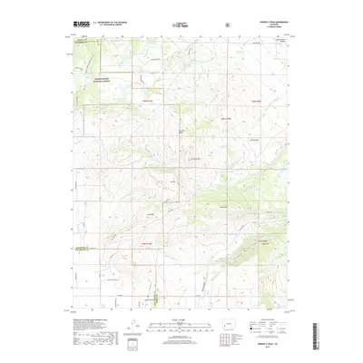
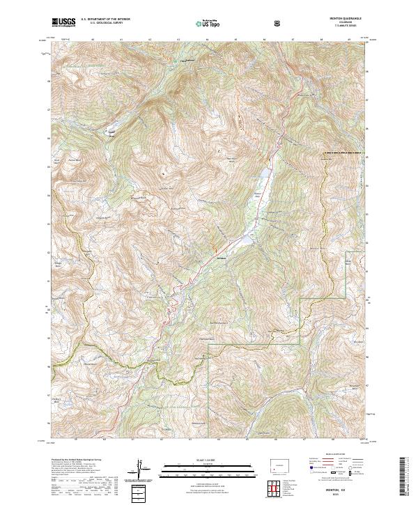
Ironton and the high-altitude mining settlements of the San Juan Mountains are documented here during the mid-1950s, a period after the peak silver boom but while many major operations remained active. The landscape is defined by the industrial infrastructure of the era, from the sprawling Camp Bird complex and its various levels—such as No 14 Level and No 2 Level—to the numerous tunnels like Koehler Tunnel and Treasury Tunnel that pierced the surrounding peaks. A unique marginal note indicates that land lines were omitted from this quadrangle due to historical survey defects or alleged fraud, reflecting the complex legal history of Colorado mining claims. Natural hazards are prominently marked, including the Waterline Slide and West Riverside Slide, which threatened the transit corridors along the Uncompahgre River and the famous Million Dollar Highway.
Find a feature on this map
83 named features on this map. Tap any name to fly to it.
Don’t see what you’re looking for? This feature index may not catch every label — zoom into the map to look around manually.
Map Details
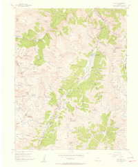
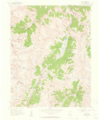
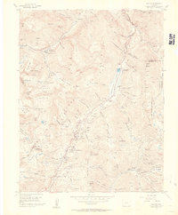
Editions of this 1955 Ironton Map
5 editions found
Historical Maps of Ironton Through Time
49 maps found
1955 Ironton
Ouray County, CO
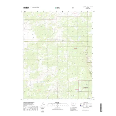
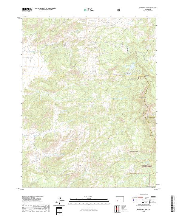
1963 Buckhorn Lakes
Ouray County, CO
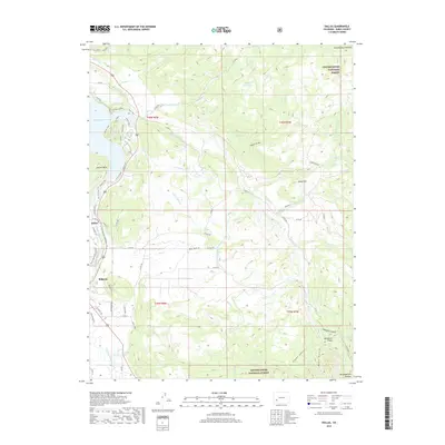
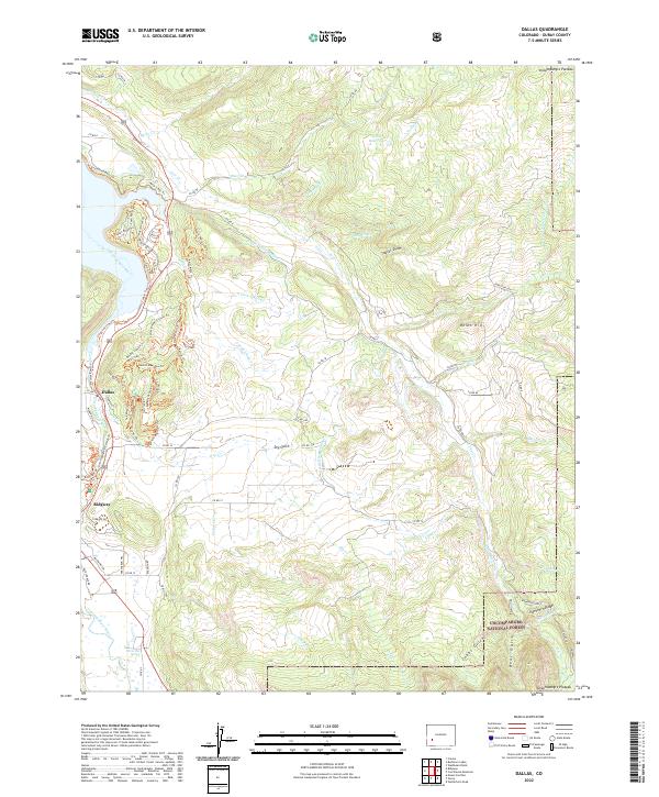
1963 Dallas
Ouray County, CO
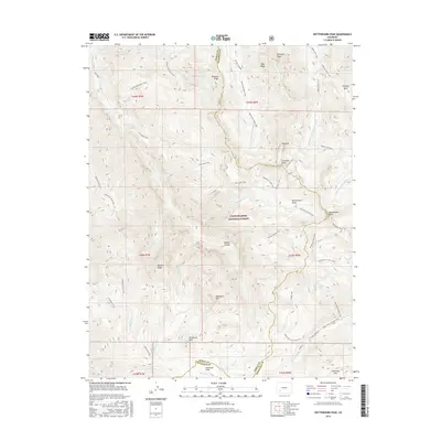
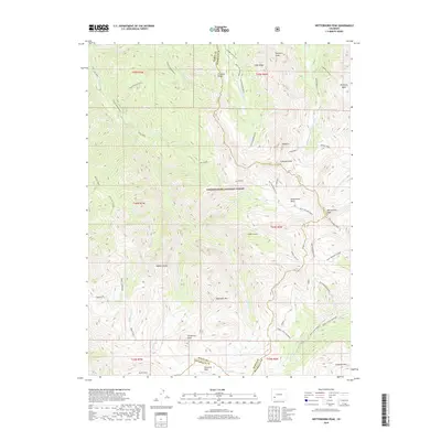
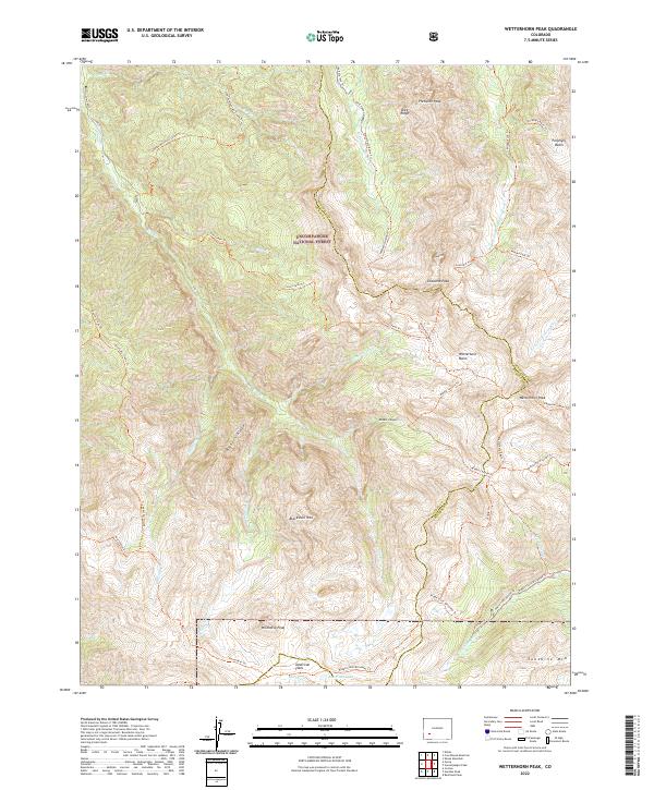
1963 Wetterhorn Peak
Ouray County, CO
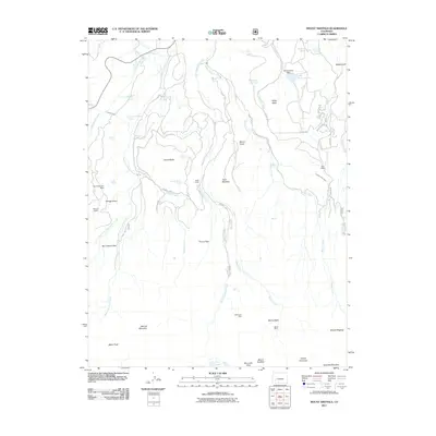
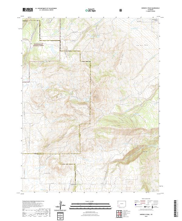
1967 Horsefly Peak
Ouray County, CO
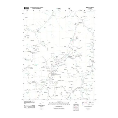
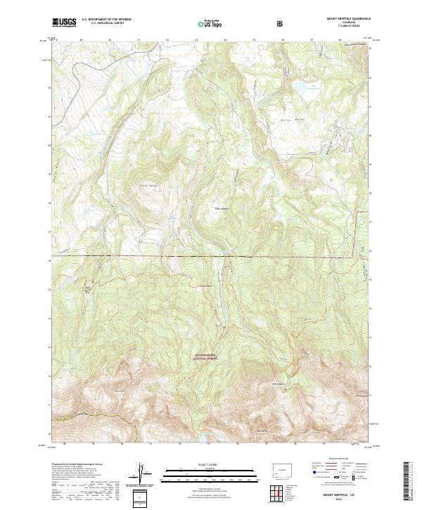
1967 Mount Sneffels
Ouray County, CO
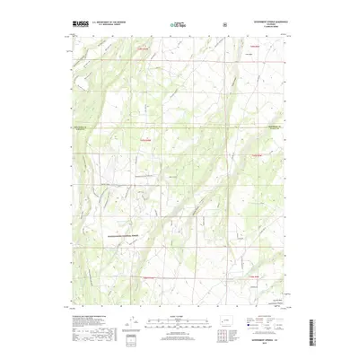
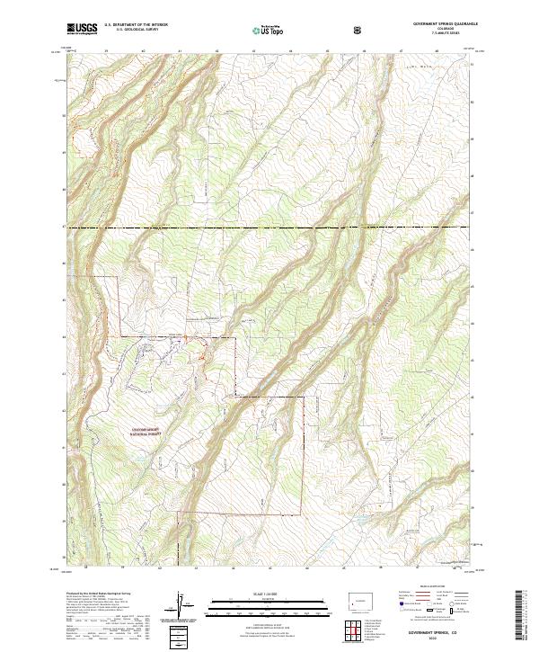
1973 Government Springs
Ouray County, CO
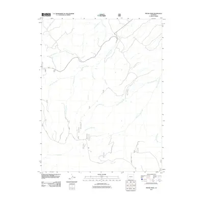
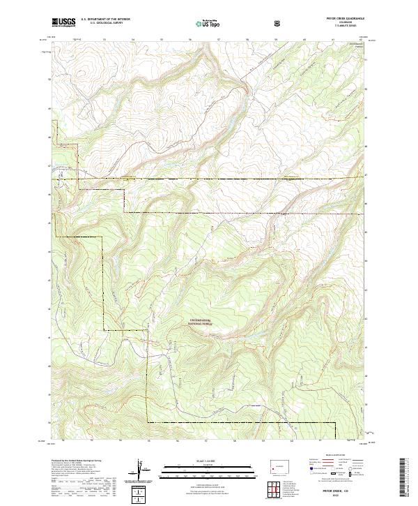
1973 Pryor Creek
Ouray County, CO
1994 Pryor Creek
Ouray County, CO
2011 Buckhorn Lakes
Ouray County, CO
2011 Dallas
Ouray County, CO
2011 Government Springs
Ouray County, CO
2011 Horsefly Peak
Ouray County, CO
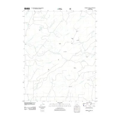
2011 Ironton
Ouray County, CO
2011 Mount Sneffels
Ouray County, CO
2011 Pryor Creek
Ouray County, CO
2011 Wetterhorn Peak
Ouray County, CO
2013 Buckhorn Lakes
Ouray County, CO
2013 Dallas
Ouray County, CO
2013 Government Springs
Ouray County, CO
2013 Horsefly Peak
Ouray County, CO
2013 Ironton
Ouray County, CO
2013 Mount Sneffels
Ouray County, CO
2013 Pryor Creek
Ouray County, CO
2013 Wetterhorn Peak
Ouray County, CO
2016 Buckhorn Lakes
Ouray County, CO
2016 Dallas
Ouray County, CO
2016 Government Springs
Ouray County, CO
2016 Horsefly Peak
Ouray County, CO
2016 Ironton
Ouray County, CO
2016 Mount Sneffels
Ouray County, CO
2016 Pryor Creek
Ouray County, CO
2016 Wetterhorn Peak
Ouray County, CO
2019 Buckhorn Lakes
Ouray County, CO
2019 Dallas
Ouray County, CO
2019 Government Springs
Ouray County, CO
2019 Horsefly Peak
Ouray County, CO
2019 Ironton
Ouray County, CO
2019 Mount Sneffels
Ouray County, CO
2019 Pryor Creek
Ouray County, CO
2019 Wetterhorn Peak
Ouray County, CO
2022 Buckhorn Lakes
Ouray County, CO
2022 Dallas
Ouray County, CO
2022 Government Springs
Ouray County, CO
2022 Horsefly Peak
Ouray County, CO
2022 Mount Sneffels
Ouray County, CO
2022 Pryor Creek
Ouray County, CO
2022 Wetterhorn Peak
Ouray County, CO
2023 Ironton
Ouray County, CO