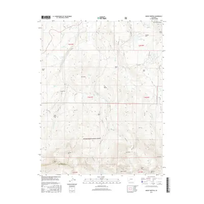
2016 Map of Mount Sneffels
USGS Topo · Published 2016About this map
Mount Sneffels anchors the high southern terrain of this 2016 survey, presiding over a landscape defined by sharp elevation changes and the protected reaches of the Uncompahgre National Forest. The transition from the high-altitude peaks like Mears Peak and Teakettle Mtn down toward the northern reaches of the Uncompahgre Plateau reveals a sophisticated network of water management, including the Ridgway Town Ditch, Cannon Ditch, and the S and M Canal. These man-made channels reflect the ongoing necessity of directing runoff from the high basins to support lower-elevation lands. Historical land use is evident in named landmarks like Box Factory Park and Miller Mesa, while the rugged interior is traversable via the extensive Dallas Trail and Blue Lakes Trail systems. The map detail highlights how the drainage of W Fork Dallas Cr and its tributaries carve the landscape, sustaining pockets like Elder Meadow and several high alpine lakes.
Find a feature on this map
63 named features on this map. Tap any name to fly to it.
Don’t see what you’re looking for? This feature index may not catch every label — zoom into the map to look around manually.
Map Details
Editions of this 2016 Mount Sneffels Map
This is the sole edition of this map. No revisions or reprints were ever made.
Other maps of this area
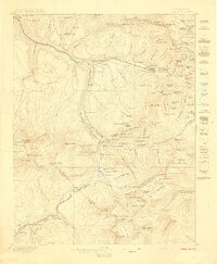
1897 · Telluride
USGS Topo · 1:62,500
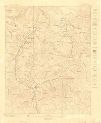
1897 · Silverton
USGS Topo · 1:62,500
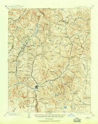
1901 · Silverton
USGS Topo · 1:62,500
1902 · Silverton
USGS Topo · 1:62,500
1902 · Ouray
USGS Topo · 1:62,500
1904 · Ouray
USGS Topo · 1:62,500
1904 · Telluride
USGS Topo · 1:62,500
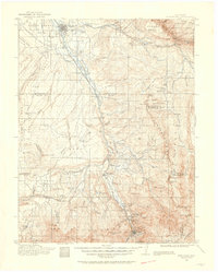
1909 · Montrose
USGS Topo · 1:125,000
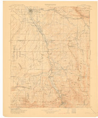
1911 · Montrose
USGS Topo · 1:125,000

1945 · Durango
USGS Topo · 1:250,000