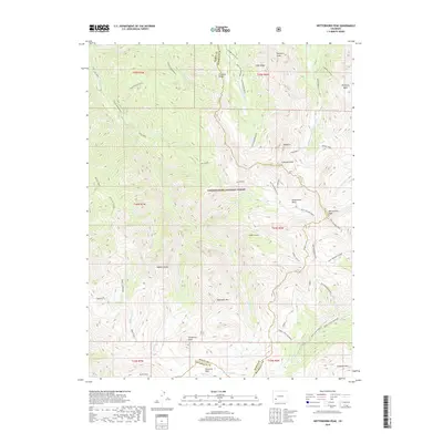
2019 Map of Wetterhorn Peak
USGS Topo · Published 2019About this map
Wetterhorn Peak and the high-altitude divide between Ouray Co and Hinsdale Co define this corner of the Uncompahgre National Forest. The landscape is dominated by alpine features, including the sprawling American Flats and significant summits like Wildhorse Peak and Coxcomb Peak. The drainage patterns are clearly delineated, with the headwaters of the W Fork Cimarron River and Middle Fork Cimarron River carving deep valleys through the northern half of the quadrangle. Trace the historical movement of livestock along the high ridges via the Ridge Stock Driveway, which traverses the southern elevations near Sunshine Mtn. From the sheer faces of Redcliff to the steep recesses of Middle Canyon, this map captures a wilderness area shaped by geological forces and seasonal ranching patterns.
Find a feature on this map
47 named features on this map. Tap any name to fly to it.
Don’t see what you’re looking for? This feature index may not catch every label — zoom into the map to look around manually.
Map Details
Editions of this 2019 Wetterhorn Peak Map
This is the sole edition of this map. No revisions or reprints were ever made.
Other maps of this area

1897 · Silverton
USGS Topo · 1:62,500

1901 · Silverton
USGS Topo · 1:62,500

1902 · Silverton
USGS Topo · 1:62,500

1902 · Ouray
USGS Topo · 1:62,500

1903 · Lake City
USGS Topo · 1:62,500

1904 · Ouray
USGS Topo · 1:62,500

1905 · Lake City
USGS Topo · 1:62,500

1905 · San Cristobal
USGS Topo · 1:125,000

1907 · San Cristobal
USGS Topo · 1:125,000

1908 · Uncompahgre
USGS Topo · 1:125,000