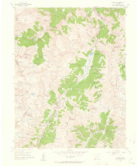
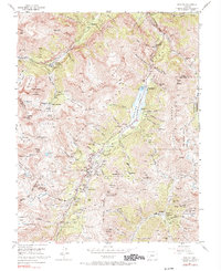
1955 Map of Ironton
USGS Topo · Published 1960About this map
The Million Dollar Highway winds through the high San Juan Mountains in this mid-century survey, linking the mining districts between Ouray and Silverton. The landscape is dominated by the massive Red Mountain complex, including Red Mountain No. 1, No. 2, and No. 3, where an intense concentration of industrial activity is evident. Settlements like Ironton, Guston, and Gladstone serve as hubs for a network of operations including the Idarado Mine, Treasury Tunnel, and Gold King Mine.
Find a feature on this map
153 named features on this map. Tap any name to fly to it.
Don’t see what you’re looking for? This feature index may not catch every label — zoom into the map to look around manually.
Map Details
Editions of this 1955 Ironton Map
5 editions found
Other maps of this area

1897 · Telluride
USGS Topo · 1:62,500

1897 · Silverton
USGS Topo · 1:62,500

1901 · Silverton
USGS Topo · 1:62,500

1902 · Silverton
USGS Topo · 1:62,500

1902 · Ouray
USGS Topo · 1:62,500

1904 · Ouray
USGS Topo · 1:62,500

1904 · Telluride
USGS Topo · 1:62,500

1909 · Montrose
USGS Topo · 1:125,000

1911 · Montrose
USGS Topo · 1:125,000

1945 · Durango
USGS Topo · 1:250,000