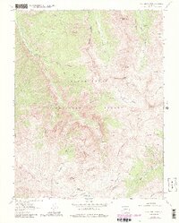
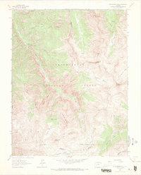
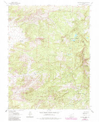
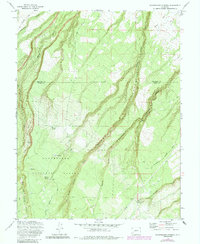
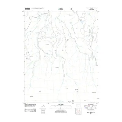
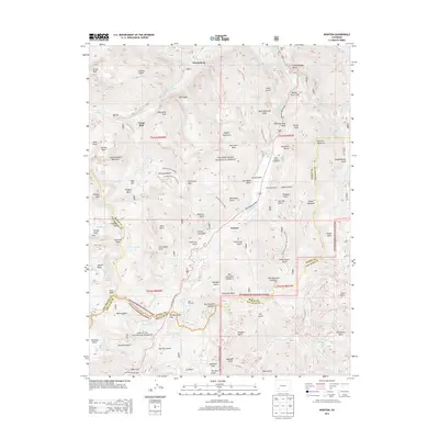
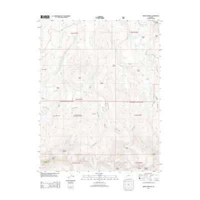
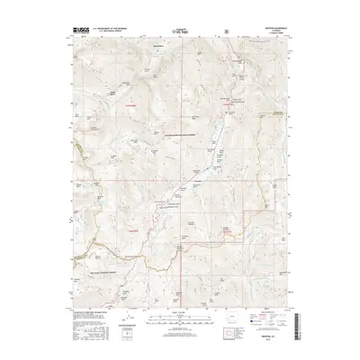
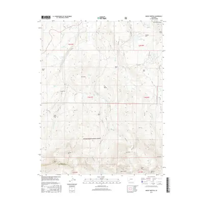
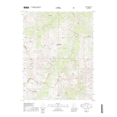
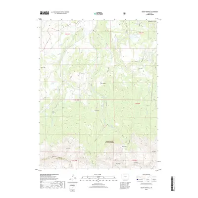
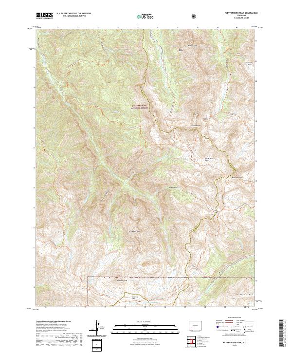
1963 Map of Wetterhorn Peak
USGS Topo · Published 1987About this map
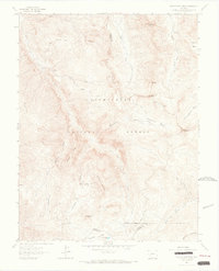
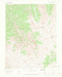
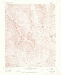
Wetterhorn Peak and the surrounding high-altitude terrain of the Uncompahgre National Forest define this 1963 survey, later updated to reflect the establishment of the Big Blue Wilderness. The landscape is a network of sharp ridges and deep drainage basins, where headwaters like the West Fork Cimarron River and Middle Fork Cimarron River begin their descent. Small-scale mining activity is evident through scattered labels for a Mine and various prospects near Mary Alice Creek and Porphyry Basin, suggesting the era's continued interest in the mineral potential of these remote slopes.
Find a feature on this map
38 named features on this map. Tap any name to fly to it.
Don’t see what you’re looking for? This feature index may not catch every label — zoom into the map to look around manually.
Map Details
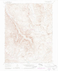
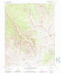
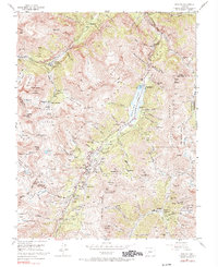
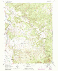
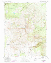
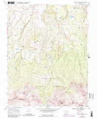
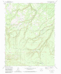
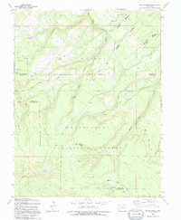
Editions of this 1963 Wetterhorn Peak Map
7 editions found
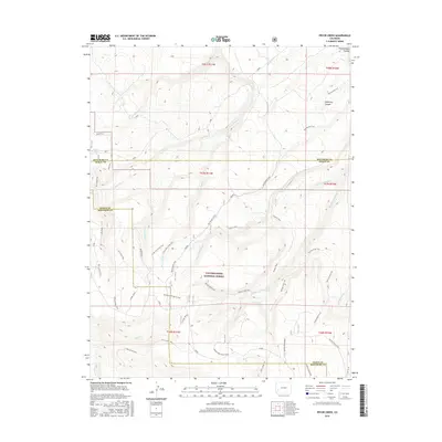
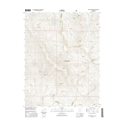
Historical Maps of Ouray County Through Time
49 maps found
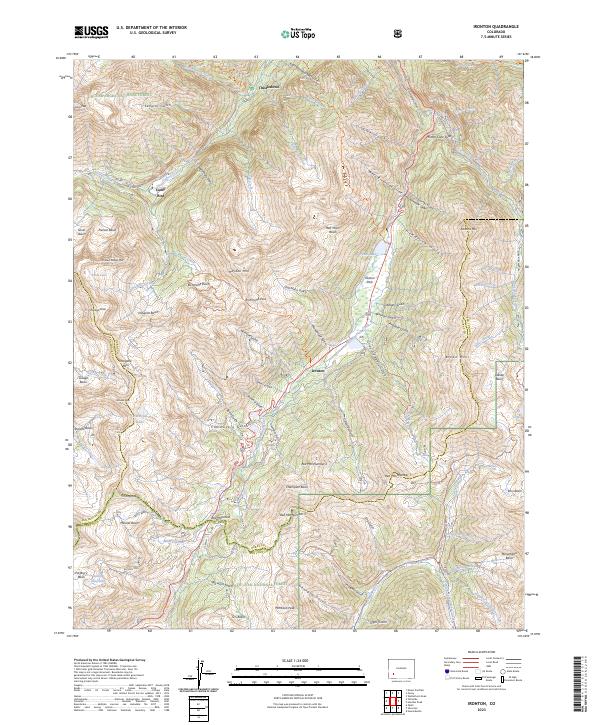
1955 Ironton
Ouray County, CO
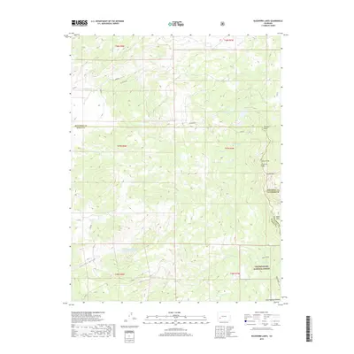
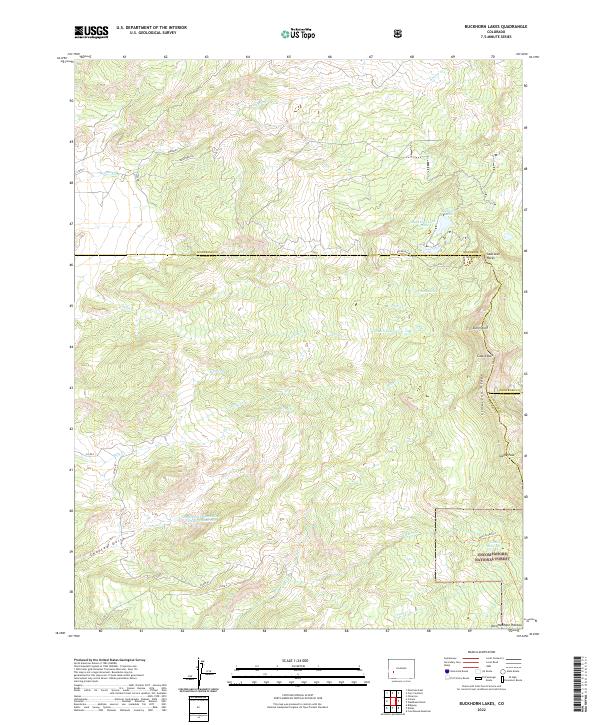
1963 Buckhorn Lakes
Ouray County, CO
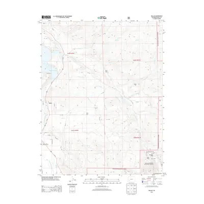
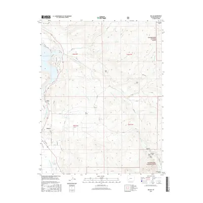
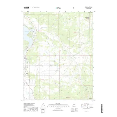
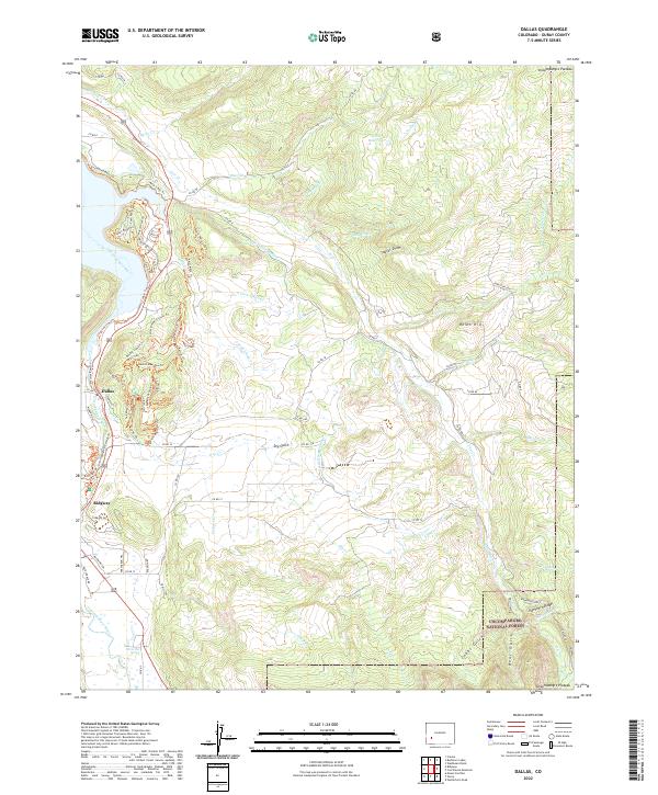
1963 Dallas
Ouray County, CO
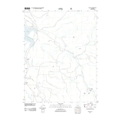
1963 Wetterhorn Peak
Ouray County, CO
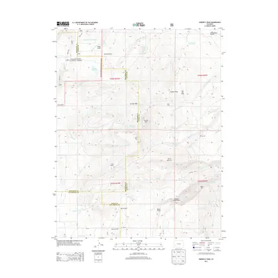
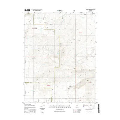
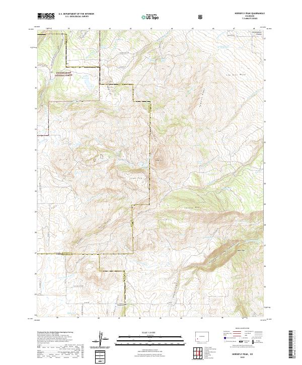
1967 Horsefly Peak
Ouray County, CO
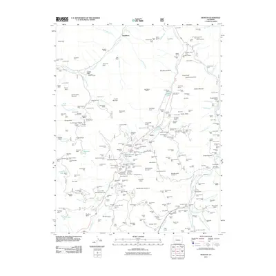
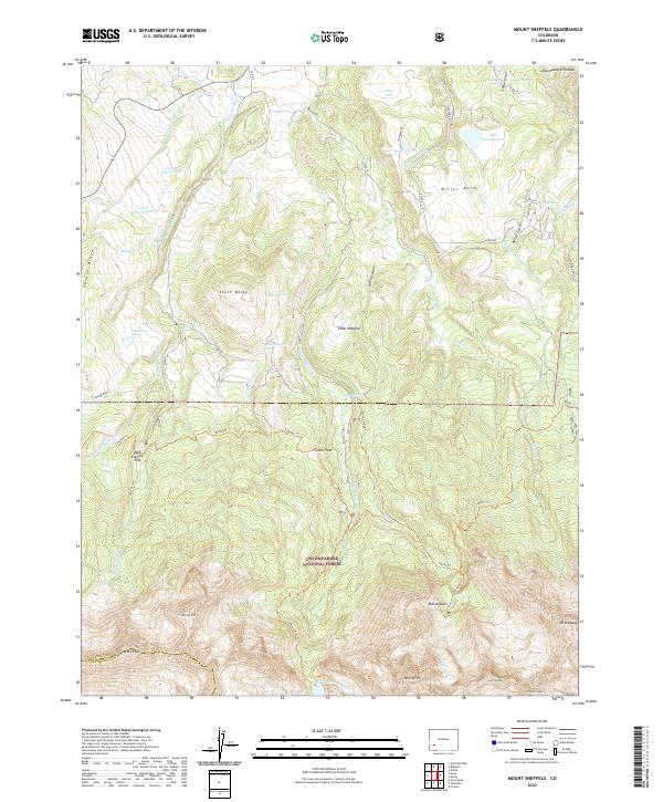
1967 Mount Sneffels
Ouray County, CO
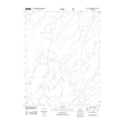
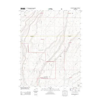
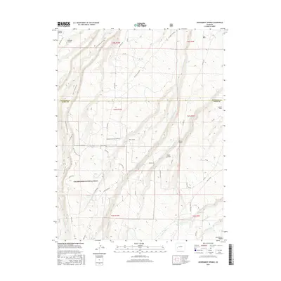
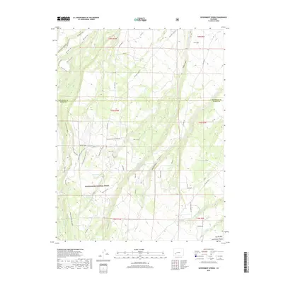
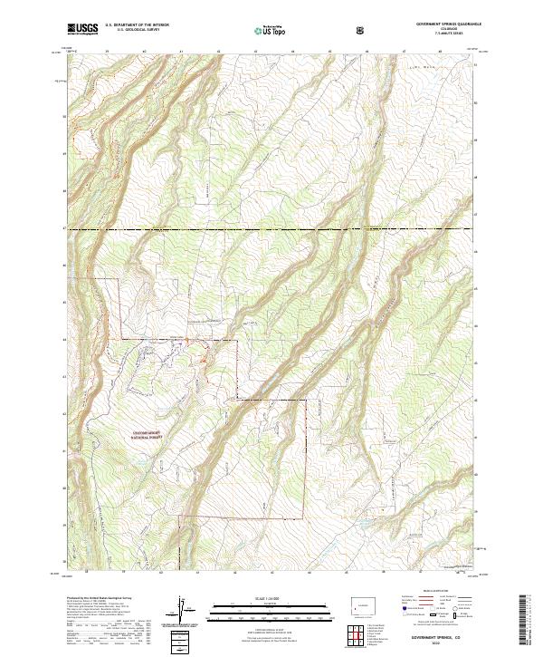
1973 Government Springs
Ouray County, CO
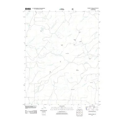
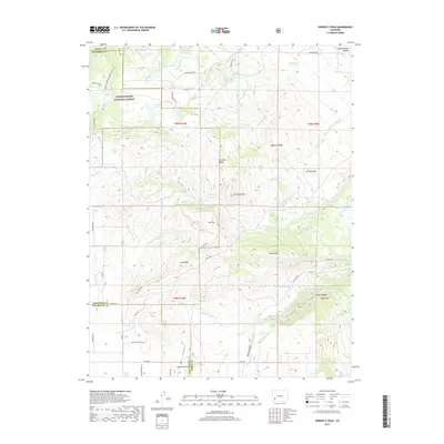
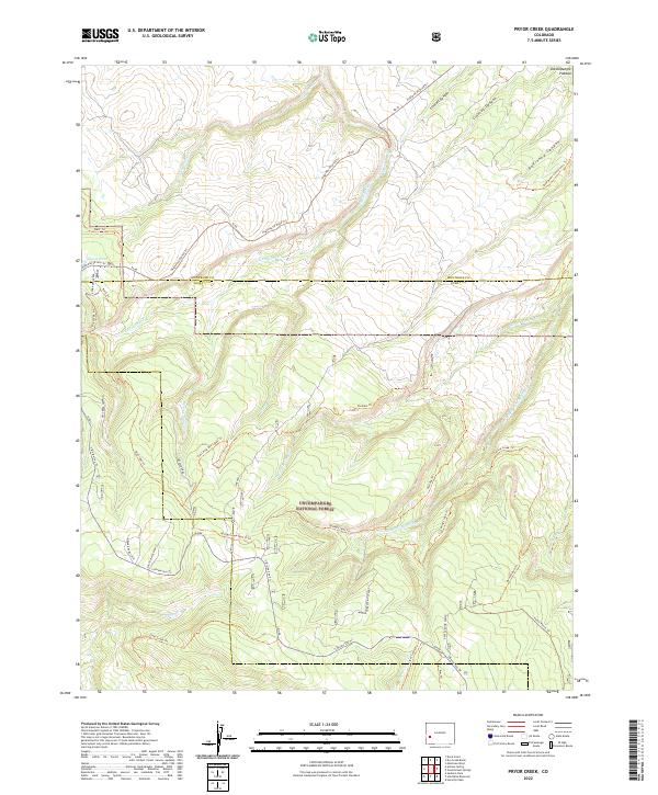
1973 Pryor Creek
Ouray County, CO
1994 Pryor Creek
Ouray County, CO
2011 Buckhorn Lakes
Ouray County, CO
2011 Dallas
Ouray County, CO
2011 Government Springs
Ouray County, CO
2011 Horsefly Peak
Ouray County, CO
2011 Ironton
Ouray County, CO
2011 Mount Sneffels
Ouray County, CO
2011 Pryor Creek
Ouray County, CO
2011 Wetterhorn Peak
Ouray County, CO
2013 Buckhorn Lakes
Ouray County, CO
2013 Dallas
Ouray County, CO
2013 Government Springs
Ouray County, CO
2013 Horsefly Peak
Ouray County, CO
2013 Ironton
Ouray County, CO
2013 Mount Sneffels
Ouray County, CO
2013 Pryor Creek
Ouray County, CO
2013 Wetterhorn Peak
Ouray County, CO
2016 Buckhorn Lakes
Ouray County, CO
2016 Dallas
Ouray County, CO
2016 Government Springs
Ouray County, CO
2016 Horsefly Peak
Ouray County, CO
2016 Ironton
Ouray County, CO
2016 Mount Sneffels
Ouray County, CO
2016 Pryor Creek
Ouray County, CO
2016 Wetterhorn Peak
Ouray County, CO
2019 Buckhorn Lakes
Ouray County, CO
2019 Dallas
Ouray County, CO
2019 Government Springs
Ouray County, CO
2019 Horsefly Peak
Ouray County, CO
2019 Ironton
Ouray County, CO
2019 Mount Sneffels
Ouray County, CO
2019 Pryor Creek
Ouray County, CO
2019 Wetterhorn Peak
Ouray County, CO
2022 Buckhorn Lakes
Ouray County, CO
2022 Dallas
Ouray County, CO
2022 Government Springs
Ouray County, CO
2022 Horsefly Peak
Ouray County, CO
2022 Mount Sneffels
Ouray County, CO
2022 Pryor Creek
Ouray County, CO
2022 Wetterhorn Peak
Ouray County, CO
2023 Ironton
Ouray County, CO