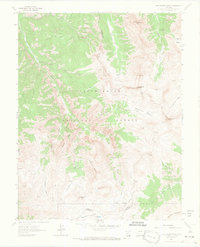
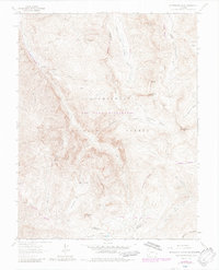
1963 Map of Wetterhorn Peak
USGS Topo · Published 1966About this map
Wetterhorn Peak and the high basins of the Uncompahgre National Forest dominate this 1960s survey of the San Juan Mountains. The landscape is defined by its verticality, transitioning from the lower drainage of Cow Creek up through Wetterhorn Basin to the sharp summits of Coxcomb Peak and Blackwall Mountain. Evidence of early 20th-century exploration is scattered across the topography, including a Mine near Oben Creek and a Prospect in the high Porphyry Basin.
Find a feature on this map
36 named features on this map. Tap any name to fly to it.
Don’t see what you’re looking for? This feature index may not catch every label — zoom into the map to look around manually.
Map Details
Editions of this 1963 Wetterhorn Peak Map
7 editions found
Other maps of this area

1897 · Silverton
USGS Topo · 1:62,500

1901 · Silverton
USGS Topo · 1:62,500

1902 · Silverton
USGS Topo · 1:62,500

1902 · Ouray
USGS Topo · 1:62,500

1903 · Lake City
USGS Topo · 1:62,500

1904 · Ouray
USGS Topo · 1:62,500

1905 · Lake City
USGS Topo · 1:62,500

1905 · San Cristobal
USGS Topo · 1:125,000

1907 · San Cristobal
USGS Topo · 1:125,000

1908 · Uncompahgre
USGS Topo · 1:125,000