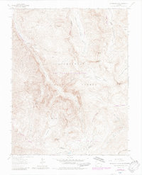
1963 Map of Wetterhorn Peak
USGS Topo · Published 1984About this map
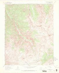
Wetterhorn Peak and the surrounding high alpine reaches of the Uncompahgre National Forest dominate this 1960s survey, updated in the early 1980s. The landscape is a network of sharp summits and drainage basins, where the headwaters of the West Fork Cimarron River and Middle Fork Cimarron River begin their descent. This era shows the transition of the high country toward managed recreation and preservation within the Big Blue Wilderness, though earlier industrial footprints remain visible in several Prospect and Mine locations near Cow Creek and Porphyry Basin. The mapping of a Stock Driveway alongside the Wetterhorn Creek Trail (Pack) and American Lake Trail (Jeep) illustrates the historical overlap of commercial grazing and backcountry access in the San Juan Mountains.
Find a feature on this map
35 named features on this map. Tap any name to fly to it.
Don’t see what you’re looking for? This feature index may not catch every label — zoom into the map to look around manually.
Map Details
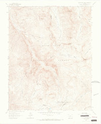
Editions of this 1963 Wetterhorn Peak Map
7 editions found
Other maps of this area

1897 · Silverton
USGS Topo · 1:62,500

1901 · Silverton
USGS Topo · 1:62,500

1902 · Silverton
USGS Topo · 1:62,500

1902 · Ouray
USGS Topo · 1:62,500

1903 · Lake City
USGS Topo · 1:62,500

1904 · Ouray
USGS Topo · 1:62,500

1905 · Lake City
USGS Topo · 1:62,500

1905 · San Cristobal
USGS Topo · 1:125,000

1907 · San Cristobal
USGS Topo · 1:125,000

1908 · Uncompahgre
USGS Topo · 1:125,000