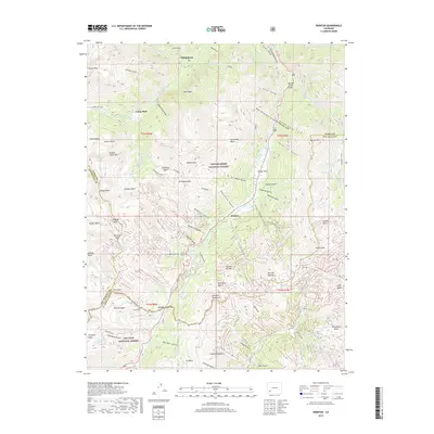
2019 Map of Ironton
USGS Topo · Published 2019About this map
Ironton stands at the heart of this high-altitude landscape, where the headwaters of the Uncompahgre River meet the steep drainage of Gray Copper Gulch. The terrain is defined by a dense concentration of basins and peaks, including Potosi Peak and Telluride Peak, which mark the divide between the Uncompahgre National Forest and the San Juan National Forest. High-country tracks like Co RD 11 and the route through Imogene Pass connect the former mining settlements of Camp Bird and Thistledown to the surrounding basins.
Find a feature on this map
110 named features on this map. Tap any name to fly to it.
Don’t see what you’re looking for? This feature index may not catch every label — zoom into the map to look around manually.
Map Details
Editions of this 2019 Ironton Map
This is the sole edition of this map. No revisions or reprints were ever made.
Other maps of this area
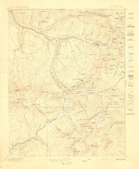
1897 · Telluride
USGS Topo · 1:62,500
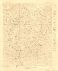
1897 · Silverton
USGS Topo · 1:62,500
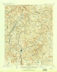
1901 · Silverton
USGS Topo · 1:62,500
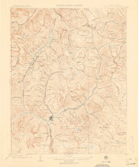
1902 · Silverton
USGS Topo · 1:62,500
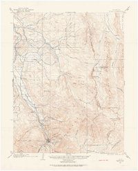
1902 · Ouray
USGS Topo · 1:62,500
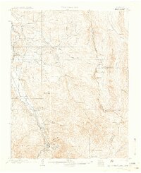
1904 · Ouray
USGS Topo · 1:62,500
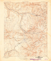
1904 · Telluride
USGS Topo · 1:62,500
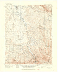
1909 · Montrose
USGS Topo · 1:125,000
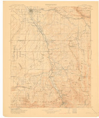
1911 · Montrose
USGS Topo · 1:125,000

1945 · Durango
USGS Topo · 1:250,000