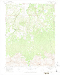
1967 Map of Mount Sneffels
USGS Topo · Published 1974About this map
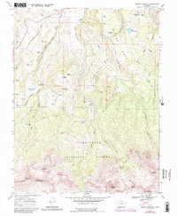
The high San Juan Mountains are defined by the towering presence of Mount Sneffels and Mears Peak along the border of Ouray and San Miguel counties. This 1960s-era survey reveals a landscape shaped by timber and alpine ranching, with Box Factory Park and McClure Camp marking early centers of activity. The topography transitions from the broad expanse of Miller Mesa in the north to the glacial basins of the high peaks, including Blaine Basin and the remote Blue Lakes tucked beneath the timberline.
Find a feature on this map
46 named features on this map. Tap any name to fly to it.
Don’t see what you’re looking for? This feature index may not catch every label — zoom into the map to look around manually.
Map Details
Editions of this 1967 Mount Sneffels Map
5 editions found
Other maps of this area

1897 · Telluride
USGS Topo · 1:62,500

1897 · Silverton
USGS Topo · 1:62,500

1901 · Silverton
USGS Topo · 1:62,500

1902 · Silverton
USGS Topo · 1:62,500

1902 · Ouray
USGS Topo · 1:62,500

1904 · Ouray
USGS Topo · 1:62,500

1904 · Telluride
USGS Topo · 1:62,500

1909 · Montrose
USGS Topo · 1:125,000

1911 · Montrose
USGS Topo · 1:125,000

1945 · Durango
USGS Topo · 1:250,000