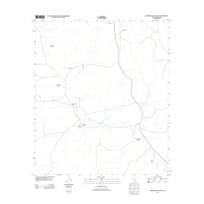
2012 Map of Horsehead Canyon
USGS Topo · Published 2012About this map
Independence Cr carves a winding path through this corner of Terrell County, serving as the primary drainage for a landscape defined by deep canyons and high plateaus. In the early 21st century, the area remains sparsely populated and largely dedicated to ranching, with a network of rural roads such as Thorn Rd and Nogales Rd providing access to isolated tracts. The names of the terrain, such as Bearfoot Canyon and Javelina Canyon, hint at the local wildlife and the experiences of early surveyors and stockmen.
Find a feature on this map
14 named features on this map. Tap any name to fly to it.
Don’t see what you’re looking for? This feature index may not catch every label — zoom into the map to look around manually.
Map Details
Editions of this 2012 Horsehead Canyon Map
This is the sole edition of this map. No revisions or reprints were ever made.
Other maps of this area

1928 · Sanderson
USGS Topo · 1:125,000

1929 · Sheffield
USGS Topo · 1:125,000

1929 · Independence Draw Quadrangle
USGS Topo · 1:125,000

1954 · Fort Stockton
USGS Topo · 1:250,000

1954 · Sonora
USGS Topo · 1:250,000

1958 · Sonora
USGS Topo · 1:250,000

1958 · Fort Stockton
USGS Topo · 1:250,000

1967 · Sheffield NW
USGS Topo · 1:24,000

1967 · Horsehead Canyon
USGS Topo · 1:24,000

1967 · Sheffield SE
USGS Topo · 1:24,000