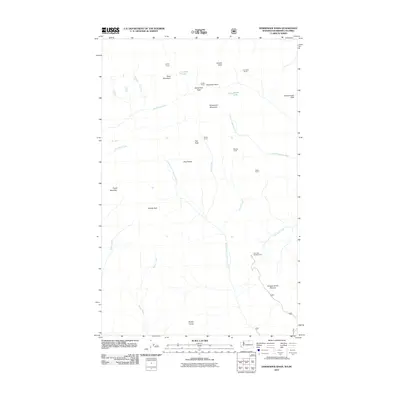
2011 Map of Horseshoe Basin
USGS Topo · Published 2011About this map
Horseshoe Basin defines this high-elevation landscape along the border, where a network of seasonal outposts and camps suggests a region primarily used for recreation, pack-trips, and resource management. Names like Coyote Camp, Cougar Camp, and Lone Wolf Camp are scattered across the terrain, connected by watercourses such as Middle Fork Toats Coulee Creek and Little Horseshoe Creek. The presence of Hodges Horse Pasture and the Iron Gate Campground in the southeast quadrant points to the importance of equestrian and backcountry access. High peaks including Arnold Peak, Goodenough Peak, and Topaz Mountain surround the basin, with Horseshoe Pass serving as a key transit point through the northern mountains. This early 21st-century survey documents the drainage patterns of Queer Creek and Sunny Creek, illustrating the complex hydrology that feeds the larger Coulee systems.
Find a feature on this map
32 named features on this map. Tap any name to fly to it.
Don’t see what you’re looking for? This feature index may not catch every label — zoom into the map to look around manually.
Map Details
Editions of this 2011 Horseshoe Basin Map
This is the sole edition of this map. No revisions or reprints were ever made.
Other maps of this area

1906 · Chopaka
USGS Topo · 1:125,000

1954 · Okanogan
USGS Topo · 1:250,000

1955 · Concrete
USGS Topo · 1:250,000

1956 · Horseshoe Basin
USGS Topo · 1:62,500

1958 · Concrete
USGS Topo · 1:250,000

1958 · Okanogan
USGS Topo · 1:250,000

1962 · Concrete
USGS Topo · 1:250,000
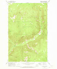
1969 · Coleman Peak
USGS Topo · 1:24,000
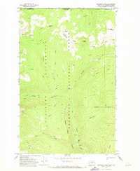
1969 · Bauerman Ridge
USGS Topo · 1:24,000
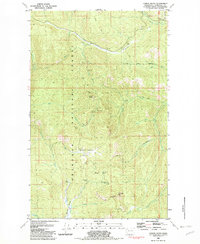
1981 · Corral Butte
USGS Topo · 1:24,000