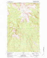
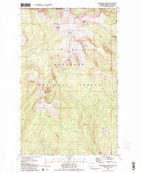
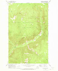
1981 Map of Horseshoe Basin
USGS Topo · Published 1982About this map
The high alpine environment of the northern Okanogan National Forest is defined here by its intersection with the Canada United States border and the remote reaches of the Pasayten Wilderness. This 1981 survey reveals a landscape of prominent summits like Windy Peak and Armstrong Mtn, where elevation and geography dictate the flow of the Middle Fork Pasayten River. The map highlights a network of primitive access routes, including the Boundary Trail and Albert Camp Trail, which connect seasonal outposts such as Two Bear Camp and Middle Fork Camp. Features like Horseshoe Basin and Little Horseshoe Basin signify the geological character of the Horseshoe Mtn area, while labels like Hodges Horse Pasture suggest the area's history of high-country grazing and pack travel.
Find a feature on this map
40 named features on this map. Tap any name to fly to it.
Don’t see what you’re looking for? This feature index may not catch every label — zoom into the map to look around manually.
Map Details
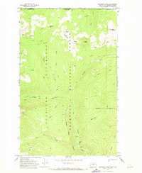
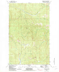
Editions of this 1981 Horseshoe Basin Map
2 editions found
Other maps of this area
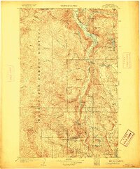
1906 · Chopaka
USGS Topo · 1:125,000

1954 · Okanogan
USGS Topo · 1:250,000

1955 · Concrete
USGS Topo · 1:250,000
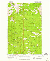
1956 · Horseshoe Basin
USGS Topo · 1:62,500

1958 · Concrete
USGS Topo · 1:250,000

1958 · Okanogan
USGS Topo · 1:250,000

1962 · Concrete
USGS Topo · 1:250,000
1969 · Coleman Peak
USGS Topo · 1:24,000
1969 · Bauerman Ridge
USGS Topo · 1:24,000
1981 · Corral Butte
USGS Topo · 1:24,000