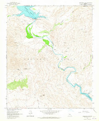
1964 Map of Horseshoe Dam
USGS Topo · Published 1965About this map
The Verde River flows through a landscape of high desert peaks and seasonal washes within the Tonto National Forest. In this mid-1960s survey, the river is controlled by the Horseshoe Dam, which forms the Horseshoe Reservoir at the northern end of the map. Downstream, the river winds past a primitive Landing Strip and a local Recreation Area before entering the northern reaches of the Bartlett Reservoir.
Find a feature on this map
33 named features on this map. Tap any name to fly to it.
Don’t see what you’re looking for? This feature index may not catch every label — zoom into the map to look around manually.
Map Details
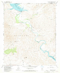
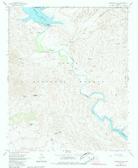
Editions of this 1964 Horseshoe Dam Map
3 editions found
Other maps of this area

1887 · Verde
USGS Topo · 1:250,000

1892 · Verde
USGS Topo · 1:250,000

1929 · Turret Peak
USGS Topo · 1:125,000

1930 · Cave Creek
USGS Topo · 1:125,000

1933 · Turret Peak
USGS Topo · 1:125,000

1939 · Cave Creek
USGS Topo · 1:125,000

1954 · Holbrook
USGS Topo · 1:250,000

1954 · Mesa
USGS Topo · 1:250,000

1957 · Mesa
USGS Topo · 1:250,000

1957 · Holbrook
USGS Topo · 1:250,000